File:Hram hrista spasitelya 1838.jpg

Size of this preview: 800 × 457 pixels. Other resolutions: 320 × 183 pixels | 640 × 366 pixels | 1,024 × 586 pixels | 1,280 × 732 pixels | 2,048 × 1,171 pixels.
Original file (2,048 × 1,171 pixels, file size: 1.56 MB, MIME type: image/jpeg)
Captions
Captions
Add a one-line explanation of what this file represents
Summary edit
| Description |
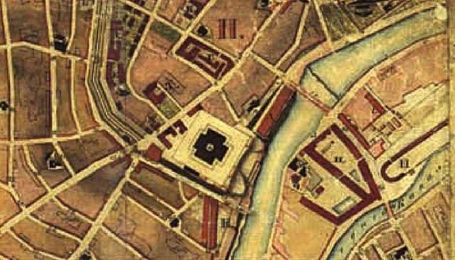
Русский: Месторасположение Храма Христа Спасителя на "Топографическом плане города Москвы", составленном офицерами Военно-Топографического Депо в 1838-1839 годах |
| Date | 1838-1839 годы. |
| Source | "Топографический план города Москвы" |
| Author | Военно-Топографическое Депо |
Licensing edit
|
This work is in the public domain in its country of origin and other countries and areas where the copyright term is the author's life plus 100 years or fewer. | |
| This file has been identified as being free of known restrictions under copyright law, including all related and neighboring rights. | |
File history
Click on a date/time to view the file as it appeared at that time.
| Date/Time | Thumbnail | Dimensions | User | Comment | |
|---|---|---|---|---|---|
| current | 23:42, 5 January 2014 | | 2,048 × 1,171 (1.56 MB) | Gerodian (talk | contribs) | {{Изображение | Описание = Месторасположение Храма Христа Спасителя на "Топографическом плане города Москвы", составленном офицерами В… |
You cannot overwrite this file.
File usage on Commons
There are no pages that use this file.
File usage on other wikis
The following other wikis use this file:
- Usage on ru.wikipedia.org