File:IHM 8.jpeg
Size of this preview: 800 × 600 pixels. Other resolutions: 320 × 240 pixels | 640 × 480 pixels | 1,024 × 768 pixels | 1,280 × 960 pixels | 1,600 × 1,200 pixels.
Original file (1,600 × 1,200 pixels, file size: 331 KB, MIME type: image/jpeg)
Captions
Captions
Add a one-line explanation of what this file represents
Summary edit
| Description |
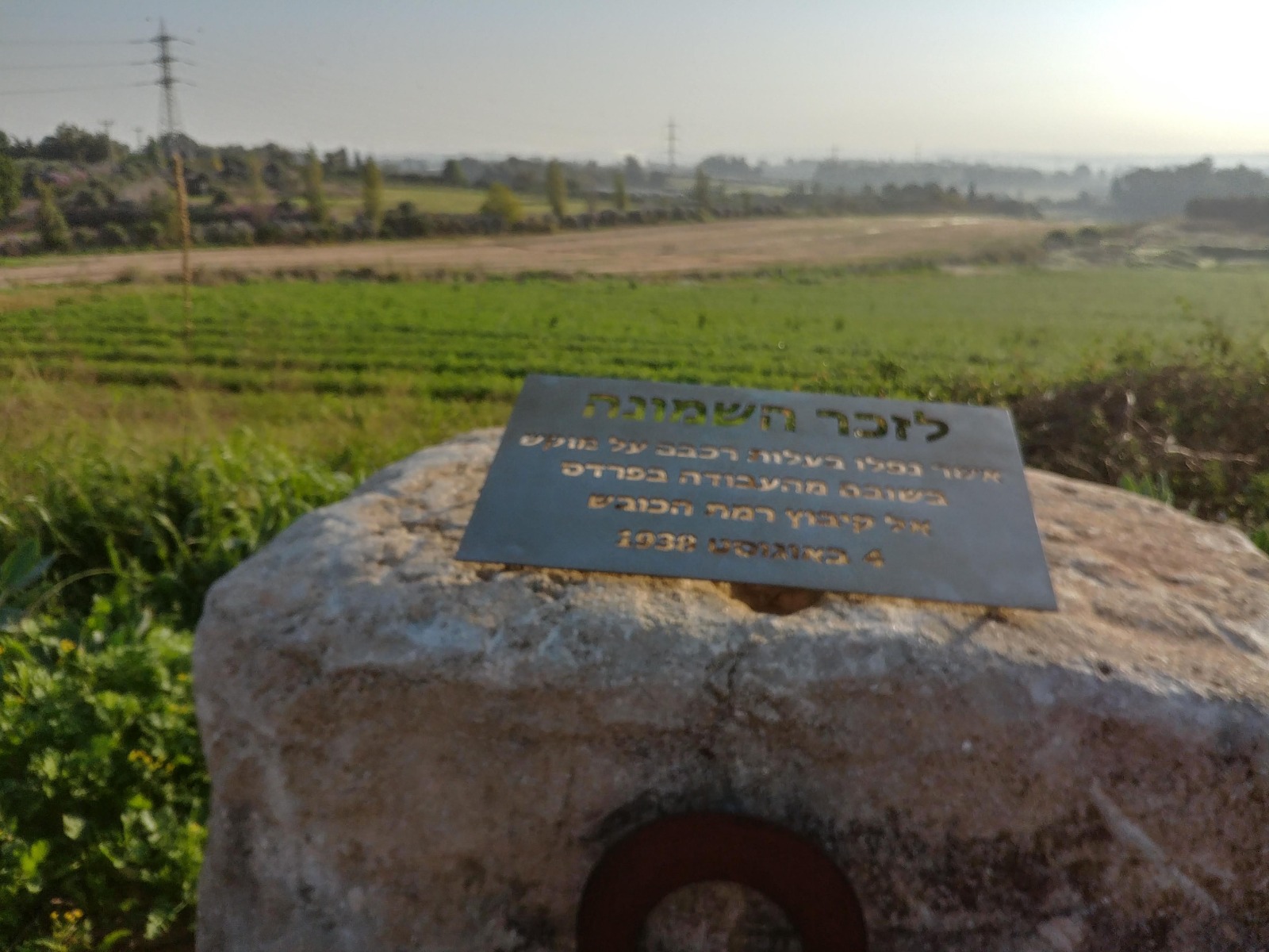
לזכר השמונה אשר נפלו בעלות רכבם על מוקש, בשובם מהעבודה בפרדס אל קיבוץ רמת הכובש. 4 באוגוסט 1938. |
| Date | |
| Source | Own work |
| Author | VELOCITY_club |
Licensing edit
I, the copyright holder of this work, hereby publish it under the following license:
This file is licensed under the Creative Commons Attribution-Share Alike 4.0 International license.
- You are free:
- to share – to copy, distribute and transmit the work
- to remix – to adapt the work
- Under the following conditions:
- attribution – You must give appropriate credit, provide a link to the license, and indicate if changes were made. You may do so in any reasonable manner, but not in any way that suggests the licensor endorses you or your use.
- share alike – If you remix, transform, or build upon the material, you must distribute your contributions under the same or compatible license as the original.
| Camera location | | View this and other nearby images on: OpenStreetMap |
|---|
File history
Click on a date/time to view the file as it appeared at that time.
| Date/Time | Thumbnail | Dimensions | User | Comment | |
|---|---|---|---|---|---|
| current | 17:39, 30 November 2020 | | 1,600 × 1,200 (331 KB) | IsraelHikingMap (talk | contribs) | =={{int:filedesc}}== {{Information |date=2020-11-30 |description=לזכר השמונה אשר נפלו בעלות רכבם על מוקש, בשובם מהעבודה בפרדס אל קיבוץ רמת הכובש. 4 באוגוסט 1938. |source={{own}} |author=[//www.openstreetmap.org/user/VELOCITY_club VELOCITY_club] |permission= |other versions= }} =={{int:license-header}}== {{self|cc-by-sa-4.0}} {{Location|1=32.220023805555556|2=34.91034477777777}} Category:Israel Hiking Map |
You cannot overwrite this file.
File usage on Commons
There are no pages that use this file.