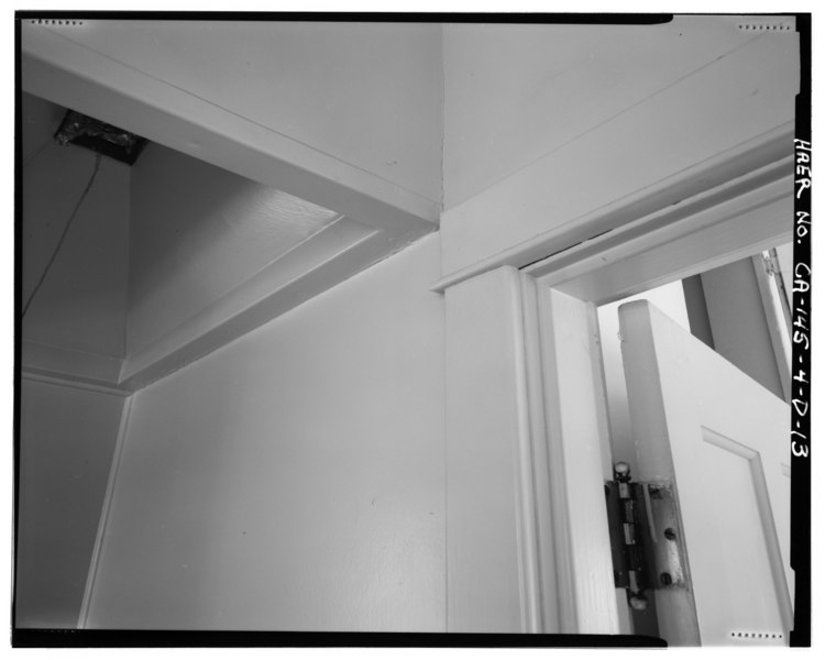
File:INTERIOR KITCHEN-UTILITY AREA DETAIL SHOWING CEILING VENT ABOVE STOVE-RANGE POSITION. VIEW TO NORTHEAST. - Bishop Creek Hydroelectric System, Plant 4, Worker Cottage, Bishop HAER CAL,14-BISH.V,5D-13.tif
Size of this JPG preview of this TIF file: 750 × 600 pixels. Other resolutions: 300 × 240 pixels | 600 × 480 pixels | 960 × 768 pixels | 1,280 × 1,024 pixels | 2,560 × 2,048 pixels | 5,000 × 4,000 pixels.
Original file (5,000 × 4,000 pixels, file size: 19.08 MB, MIME type: image/tiff)
Captions
Captions
Add a one-line explanation of what this file represents
Summary edit
| INTERIOR KITCHEN-UTILITY AREA DETAIL SHOWING CEILING VENT ABOVE STOVE-RANGE POSITION. VIEW TO NORTHEAST. - Bishop Creek Hydroelectric System, Plant 4, Worker Cottage, Bishop Creek, Bishop, Inyo County, CA | ||||
|---|---|---|---|---|
| Photographer |
O'Laughlin, Gregory L. |
|||
| Title |
INTERIOR KITCHEN-UTILITY AREA DETAIL SHOWING CEILING VENT ABOVE STOVE-RANGE POSITION. VIEW TO NORTHEAST. - Bishop Creek Hydroelectric System, Plant 4, Worker Cottage, Bishop Creek, Bishop, Inyo County, CA |
|||
| Depicted place | California; Inyo County; Bishop | |||
| Date | 1995 | |||
| Dimensions | 4 x 5 in. | |||
| Current location |
Library of Congress Prints and Photographs Division Washington, D.C. 20540 USA http://hdl.loc.gov/loc.pnp/pp.print |
|||
| Accession number |
HAER CAL,14-BISH.V,5D-13 |
|||
| Credit line |
|
|||
| Source | https://www.loc.gov/pictures/item/ca2141.photos.315186p | |||
| Permission (Reusing this file) |
|
|||

| Camera location | | View this and other nearby images on: OpenStreetMap |
|---|
File history
Click on a date/time to view the file as it appeared at that time.
| Date/Time | Thumbnail | Dimensions | User | Comment | |
|---|---|---|---|---|---|
| current | 19:47, 5 July 2014 |  | 5,000 × 4,000 (19.08 MB) | Fæ (talk | contribs) | GWToolset: Creating mediafile for Fæ. HABS 05 July 2014 (401:500) |
You cannot overwrite this file.
File usage on Commons
The following page uses this file: