File:Iberia sry2627 map.svg

Size of this PNG preview of this SVG file: 699 × 600 pixels. Other resolutions: 280 × 240 pixels | 560 × 480 pixels | 895 × 768 pixels | 1,194 × 1,024 pixels | 2,387 × 2,048 pixels | 1,183 × 1,015 pixels.
Original file (SVG file, nominally 1,183 × 1,015 pixels, file size: 839 KB)
Captions
Captions
Add a one-line explanation of what this file represents
| Description |
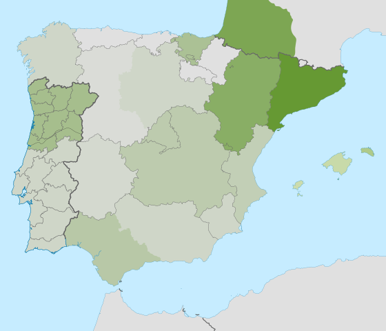
English: Distribution of SRY2627 in Iberia. |
| Date | (UTC) |
| Source | |
| Author |
|
I, the copyright holder of this work, hereby publish it under the following licenses:
This file is licensed under the Creative Commons Attribution-Share Alike 3.0 Unported license.
- You are free:
- to share – to copy, distribute and transmit the work
- to remix – to adapt the work
- Under the following conditions:
- attribution – You must give appropriate credit, provide a link to the license, and indicate if changes were made. You may do so in any reasonable manner, but not in any way that suggests the licensor endorses you or your use.
- share alike – If you remix, transform, or build upon the material, you must distribute your contributions under the same or compatible license as the original.

|
Permission is granted to copy, distribute and/or modify this document under the terms of the GNU Free Documentation License, Version 1.2 or any later version published by the Free Software Foundation; with no Invariant Sections, no Front-Cover Texts, and no Back-Cover Texts. A copy of the license is included in the section entitled GNU Free Documentation License. |
You may select the license of your choice.
Original upload log edit
This image is a derivative work of the following images:
- File:Spain_location_map.svg licensed with Cc-by-sa-3.0, GFDL
- 2008-07-07T14:23:21Z NordNordWest 1184x1016 (548734 Bytes)
- 2008-07-04T13:58:24Z NordNordWest 1184x1016 (803807 Bytes) corrected
- 2008-07-04T13:54:33Z NordNordWest 1184x1016 (810397 Bytes) {{Information |Description= {{de|Positionskarte von [[:de:Spanien|Spanien]]}} Quadratische Plattkarte, N-S-Streckung 130 %. Geographische Begrenzung der Karte: * N: 44.4° N * S: 34.7° N * W: 9.9° W * O: 4.8° O {{en|Locati
Uploaded with derivativeFX
File history
Click on a date/time to view the file as it appeared at that time.
| Date/Time | Thumbnail | Dimensions | User | Comment | |
|---|---|---|---|---|---|
| current | 21:47, 30 September 2010 | | 1,183 × 1,015 (839 KB) | Victar (talk | contribs) | {{Information |Description={{de|Positionskarte von Spanien}} Quadratische Plattkarte, N-S-Streckung 130 %. Geographische Begrenzung der Karte: * N: 44.4° N * S: 34.7° N * W: 9.9° W * O: 4.8° O {{en|Location map of Spain}} |
You cannot overwrite this file.
File usage on Commons
The following page uses this file: