File:Igreja de Fontoura.jpg
No higher resolution available.
Igreja_de_Fontoura.jpg (640 × 480 pixels, file size: 95 KB, MIME type: image/jpeg)
Captions
Captions
Add a one-line explanation of what this file represents
Summary edit
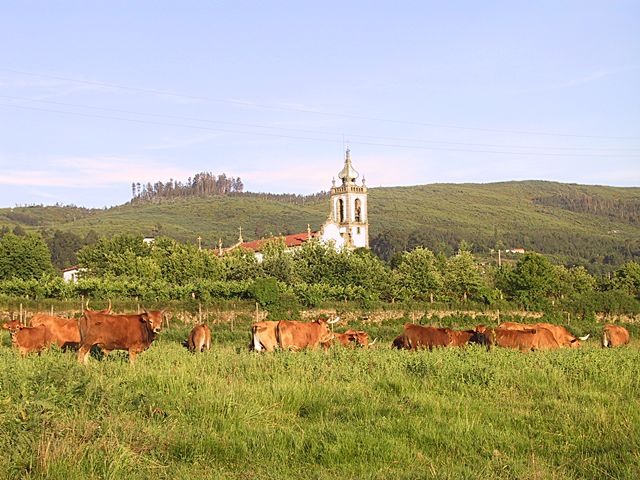
| Description |
English: Sunset view of the church and fields of Fontoura, Portugal |
||
| Date | |||
| Source | Own work | ||
| Author | Frenz 69 | ||
| Permission (Reusing this file) |
I, the copyright holder of this work, hereby publish it under the following licenses: This file is licensed under the Creative Commons Attribution-Share Alike 3.0 Unported license.
You may select the license of your choice. |

| Camera location | | View this and other nearby images on: OpenStreetMap |
|---|
File history
Click on a date/time to view the file as it appeared at that time.
| Date/Time | Thumbnail | Dimensions | User | Comment | |
|---|---|---|---|---|---|
| current | 12:40, 4 August 2010 | | 640 × 480 (95 KB) | Frenz 69 (talk | contribs) | {{Information |Description={{en|1=Sunset view of the church and fields of Fontoura, Portugal}} |Source={{own}} |Author=Frenz 69 |Date=2010-06-04 |Permission= |other_versions= }} {{coord|41|57|26.19|N|8|38|08.54|W|display=title}} [[Catego |
You cannot overwrite this file.
File usage on Commons
The following page uses this file:
File usage on other wikis
The following other wikis use this file:
- Usage on ca.wikipedia.org
- Usage on ceb.wikipedia.org
- Usage on ce.wikipedia.org
- Usage on de.wikipedia.org
- Usage on en.wikipedia.org
- Usage on es.wikipedia.org
- Usage on kk.wikipedia.org
- Usage on nl.wikipedia.org
- Usage on pt.wikipedia.org
- Usage on ru.wikipedia.org
- Usage on tt.wikipedia.org
- Usage on www.wikidata.org