File:India Chhattisgarh location map.svg

Size of this PNG preview of this SVG file: 479 × 600 pixels. Other resolutions: 191 × 240 pixels | 383 × 480 pixels | 613 × 768 pixels | 817 × 1,024 pixels | 1,635 × 2,048 pixels | 1,152 × 1,443 pixels.
Original file (SVG file, nominally 1,152 × 1,443 pixels, file size: 473 KB)
Captions
Captions
Add a one-line explanation of what this file represents
Summary edit
| Description |
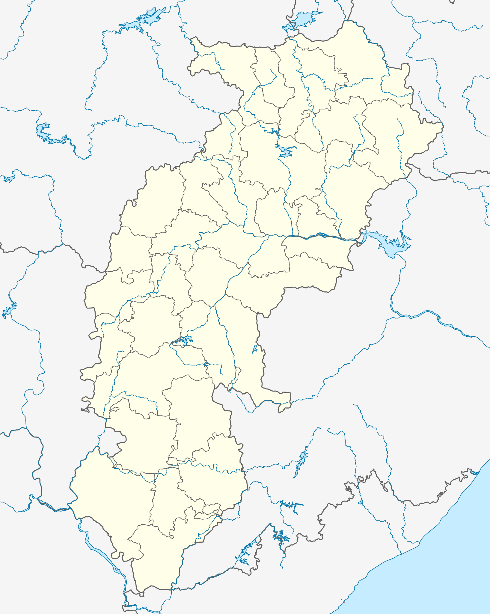
Location map of Chhattisgarh Geographic limits of the map:
|
| Date | |
| Source | Own work |
| Author |
|
Licensing edit
I, the copyright holder of this work, hereby publish it under the following license:
This file is licensed under the Creative Commons Attribution-Share Alike 3.0 Unported license.
- You are free:
- to share – to copy, distribute and transmit the work
- to remix – to adapt the work
- Under the following conditions:
- attribution – You must give appropriate credit, provide a link to the license, and indicate if changes were made. You may do so in any reasonable manner, but not in any way that suggests the licensor endorses you or your use.
- share alike – If you remix, transform, or build upon the material, you must distribute your contributions under the same or compatible license as the original.
File history
Click on a date/time to view the file as it appeared at that time.
| Date/Time | Thumbnail | Dimensions | User | Comment | |
|---|---|---|---|---|---|
| current | 04:50, 19 July 2022 | | 1,152 × 1,443 (473 KB) | C1MM (talk | contribs) | Fixed Sarangarh-Bhilaigarh |
| 05:39, 23 April 2022 |  | 1,152 × 1,443 (469 KB) | C1MM (talk | contribs) | Added four new districts | |
| 17:44, 1 May 2021 |  | 934 × 1,286 (311 KB) | C1MM (talk | contribs) | Fixed Baloda Bazar district | |
| 17:06, 1 May 2021 |  | 934 × 1,286 (305 KB) | C1MM (talk | contribs) | Fixed borders and rivers, changed line weight | |
| 23:32, 16 December 2020 |  | 1,613 × 2,221 (328 KB) | C1MM (talk | contribs) | Grouped rivers | |
| 04:48, 24 October 2020 |  | 1,613 × 2,221 (188 KB) | C1MM (talk | contribs) | Changed width of district boundaries | |
| 19:15, 2 August 2020 |  | 1,613 × 2,221 (207 KB) | C1MM (talk | contribs) | Relayered | |
| 00:50, 9 June 2020 |  | 1,613 × 2,221 (141 KB) | C1MM (talk | contribs) | Fixed Andhra Pradesh border change | |
| 03:43, 11 May 2020 |  | 1,613 × 2,221 (140 KB) | C1MM (talk | contribs) | Fixed river | |
| 22:19, 22 April 2020 |  | 1,613 × 2,221 (150 KB) | C1MM (talk | contribs) | Corrected district |
You cannot overwrite this file.
File usage on Commons
The following 22 pages use this file:
- Atlas of Chhattisgarh
- Category:Airports in Chhattisgarh
- Category:Caves of Chhattisgarh
- Category:Chhattisgarh
- Category:Festivals of Chhattisgarh
- Category:Forts in Chhattisgarh
- Category:Geography of Chhattisgarh
- Category:Hills of Chhattisgarh
- Category:Hindu temples in Chhattisgarh
- Category:History of Chhattisgarh
- Category:Hospitals in Chhattisgarh
- Category:Jain temples in Chhattisgarh
- Category:Maps of Chhattisgarh
- Category:People of Chhattisgarh
- Category:Populated places in Chhattisgarh
- Category:Rail transport in Chhattisgarh
- Category:Railway stations in Chhattisgarh
- Category:Rivers of Chhattisgarh
- Category:Roads in Chhattisgarh
- Category:Shiva temples in Chhattisgarh
- Category:Transport in Chhattisgarh
- Category:Waterfalls in Chhattisgarh
File usage on other wikis
The following other wikis use this file:
- Usage on ar.wikipedia.org
- Usage on azb.wikipedia.org
- Usage on az.wikipedia.org
- Usage on ba.wikipedia.org
- Usage on bn.wikipedia.org
View more global usage of this file.