File:India Jammu and Kashmir location map Indian view.svg

Size of this PNG preview of this SVG file: 794 × 600 pixels. Other resolutions: 318 × 240 pixels | 635 × 480 pixels | 1,017 × 768 pixels | 1,280 × 967 pixels | 2,560 × 1,934 pixels | 1,722 × 1,301 pixels.
Original file (SVG file, nominally 1,722 × 1,301 pixels, file size: 258 KB)
Captions
Captions
Add a one-line explanation of what this file represents
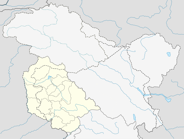
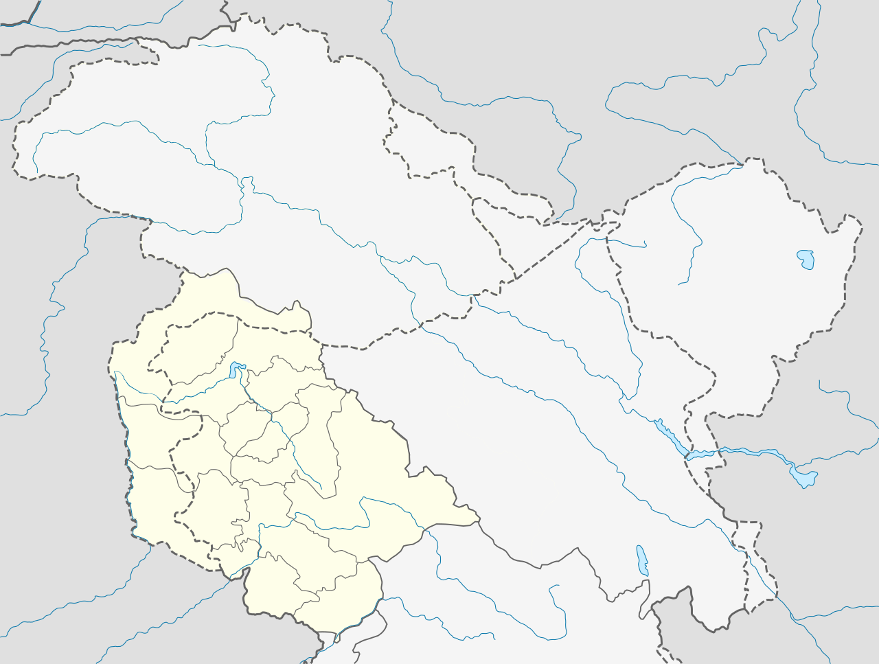
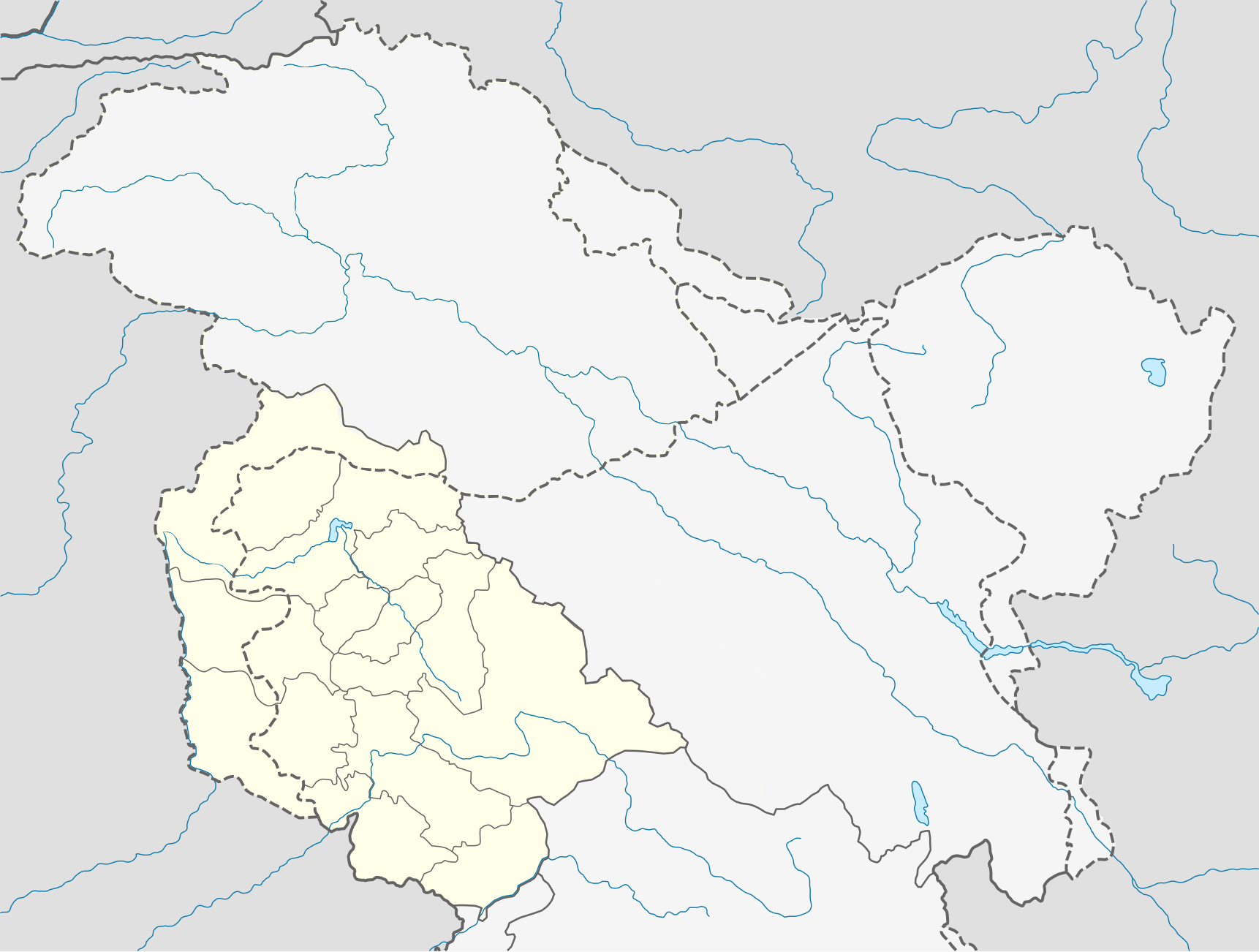
| Description | Quadratische Plattkarte, N-S-Streckung 120 %. Geographische Begrenzung der Karte: * N: 37.2° N * S: 32.1° N * W: 72.4° O * O: 80.5° O Equirectangular projection, N/S stretching 120 %. Geographic limits of the map: * N: 37.2° N * S: 32.1° N * W: 72.4° E * E: 80.5° E |
| Date | (UTC) |
| Source | |
| Author |
|
| This is a retouched picture, which means that it has been digitally altered from its original version. Modifications: indian view, so separate. The original can be viewed here: India Jammu and Kashmir location map.svg:
|
I, the copyright holder of this work, hereby publish it under the following license:
This file is licensed under the Creative Commons Attribution-Share Alike 3.0 Unported license.
- You are free:
- to share – to copy, distribute and transmit the work
- to remix – to adapt the work
- Under the following conditions:
- attribution – You must give appropriate credit, provide a link to the license, and indicate if changes were made. You may do so in any reasonable manner, but not in any way that suggests the licensor endorses you or your use.
- share alike – If you remix, transform, or build upon the material, you must distribute your contributions under the same or compatible license as the original.
Original upload log edit
This image is a derivative work of the following images:
- File:India_Jammu_and_Kashmir_location_map.svg licensed with Cc-by-sa-3.0
- 2011-02-16T13:08:20Z NordNordWest 1722x1301 (196067 Bytes) Who cares discussions (discussion? only you: http://en.wikipedia.org/w/index.php?title=File_talk:India_Jammu_and_Kashmir_location_map.svg&action=history) at en:WP when this is a Commons file? Another revert by you -> COM:V.
- 2011-02-16T12:46:34Z Avoided blue 1722x1301 (259968 Bytes) Discussion was there on en:wiki for long time, the map otherwise is completely misleading
- 2011-02-15T12:10:59Z NordNordWest 1722x1301 (196067 Bytes) see [[:en:Kashmir conflict]], especially [[:en:Kashmir conflict#Indian view]], and [[:en:Instrument of Accession (Jammu and Kashmir)]], no changes of difficult maps without discussion
- 2011-02-15T06:47:01Z Avoided blue 1722x1301 (259968 Bytes) Fix colors of areas that are not militarily controlled by India.
- 2010-04-15T08:35:10Z NordNordWest 1722x1301 (196067 Bytes) =={{int:filedesc}}== {{Information |Description= {{de|Positionskarte von [[:de:Jammu und Kashmir|Jammu und Kashmir]], [[:de:Indien|Indien]]}} Quadratische Plattkarte, N-S-Streckung 120 %. Geographische Begrenzung der Karte: *
Uploaded with derivativeFX
File history
Click on a date/time to view the file as it appeared at that time.
| Date/Time | Thumbnail | Dimensions | User | Comment | |
|---|---|---|---|---|---|
| current | 07:52, 23 December 2020 | | 1,722 × 1,301 (258 KB) | Sbb1413 (talk | contribs) | Corrected borders per official map. |
| 14:11, 22 December 2020 |  | 1,722 × 1,301 (230 KB) | Sbb1413 (talk | contribs) | Jhelum | |
| 13:57, 22 December 2020 |  | 1,722 × 1,301 (230 KB) | Sbb1413 (talk | contribs) | River | |
| 13:55, 22 December 2020 |  | 1,722 × 1,301 (230 KB) | Sbb1413 (talk | contribs) | Restoring IPOV. | |
| 03:34, 24 February 2011 |  | 1,722 × 1,301 (190 KB) | Avoided blue (talk | contribs) | {{Information |Description={{de|Positionskarte von Jammu und Kashmir, Indien. De-facto-Situation.}} Quadratische Plattkarte, N-S-Streckung 120 %. Geographische Begrenzung der Karte: * N: 37.2° N * S: 32.1° N * W: |
You cannot overwrite this file.
File usage on Commons
There are no pages that use this file.
File usage on other wikis
The following other wikis use this file:
- Usage on xmf.wikipedia.org