File:India Tajikistan Locator.png
No higher resolution available.
India_Tajikistan_Locator.png (715 × 457 pixels, file size: 13 KB, MIME type: image/png)
Captions
Captions
Add a one-line explanation of what this file represents
Summary edit
| Description |
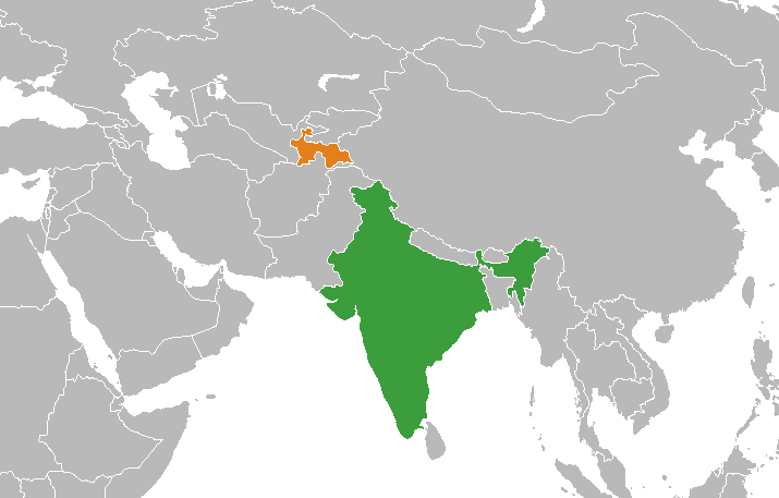
English: Locator map cropped from File:India (orthographic projection).svg. |
| Source | Own work |
| Author | User:Circeus |
.svg)
Licensing edit
| I, the copyright holder of this work, release this work into the public domain. This applies worldwide. In some countries this may not be legally possible; if so: I grant anyone the right to use this work for any purpose, without any conditions, unless such conditions are required by law. |
File history
Click on a date/time to view the file as it appeared at that time.
| Date/Time | Thumbnail | Dimensions | User | Comment | |
|---|---|---|---|---|---|
| current | 13:13, 27 November 2020 | | 715 × 457 (13 KB) | Mar4d (talk | contribs) | Reverted to version as of 20:28, 15 June 2008 (UTC) - new map doesn't adhere to WP:NPOV. We don't include Kashmir areas in bilateral relations maps as a convention |
| 13:37, 16 July 2017 |  | 561 × 558 (83 KB) | RaviC (talk | contribs) | Newer map | |
| 20:28, 15 June 2008 |  | 715 × 457 (13 KB) | Circeus (talk | contribs) | {{Information |Description={{en|1=Locator map cropped from BlankMap-World-large.png.}} |Source=self-made |Author=User:Circeus |Date= |Permission= |other_versions= }} {{ImageUpload|full}} |
You cannot overwrite this file.
File usage on Commons
The following page uses this file:
File usage on other wikis
The following other wikis use this file:
- Usage on en.wikipedia.org
- Usage on fa.wikipedia.org
- Usage on he.wikipedia.org
- Usage on hi.wikipedia.org
- Usage on ru.wikipedia.org
- Usage on uz.wikipedia.org
- Usage on www.wikidata.org