File:Indian Lands of Federally Recognized Tribes of the US, June 2016.pdf

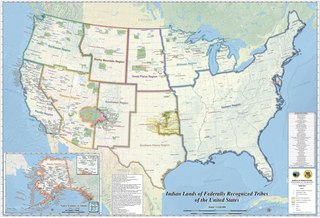
Size of this JPG preview of this PDF file: 800 × 544 pixels. Other resolutions: 320 × 218 pixels | 640 × 435 pixels | 1,024 × 697 pixels | 1,280 × 871 pixels | 2,560 × 1,742 pixels | 7,050 × 4,797 pixels.
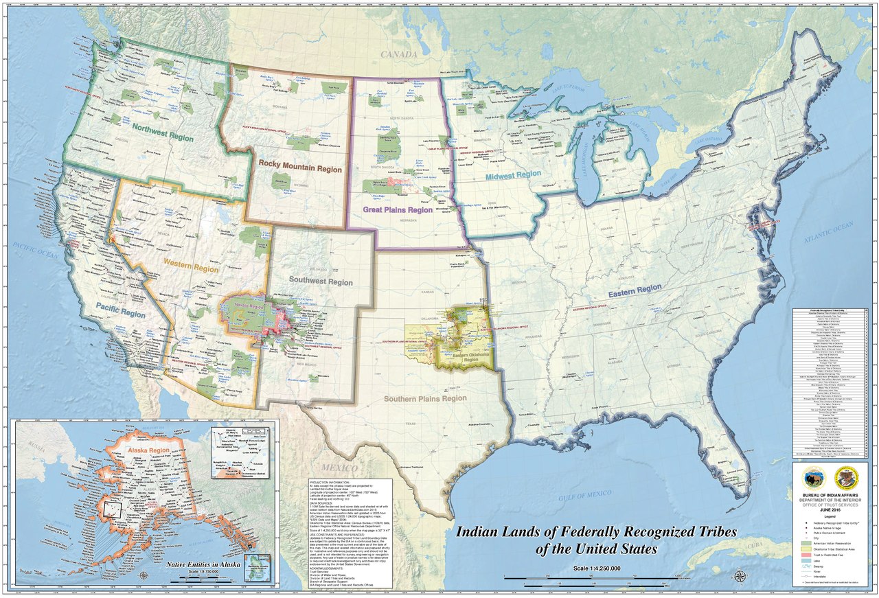
Original file (7,050 × 4,797 pixels, file size: 5.19 MB, MIME type: application/pdf)
Captions
Captions
Add a one-line explanation of what this file represents

|
This map image could be re-created using vector graphics as an SVG file. This has several advantages; see Commons:Media for cleanup for more information. If an SVG form of this image is available, please upload it and afterwards replace this template with
{{vector version available|new image name}}.
It is recommended to name the SVG file “Indian Lands of Federally Recognized Tribes of the US, June 2016.svg”—then the template Vector version available (or Vva) does not need the new image name parameter. |
Summary
edit| Description |
English: 2016 map of Indian Reservations in the United States. Uploaded due to a request |
| Date | |
| Source | https://www.bia.gov/sites/bia.gov/files/assets/bia/ots/webteam/pdf/idc1-028635.pdf |
| Author | BUREAU OF INDIAN AFFAIRS, DEPARTMENT OF THE INTERIOR |
Licensing
edit| This image or media file contains material based on a work of a United States Department of the Interior employee, created as part of that person's official duties. As a work of the U.S. federal government, such work is in the public domain in the United States. See the Department of the Interior copyright policy for more information. |  |
File history
Click on a date/time to view the file as it appeared at that time.
| Date/Time | Thumbnail | Dimensions | User | Comment | |
|---|---|---|---|---|---|
| current | 15:32, 26 June 2019 |  | 7,050 × 4,797 (5.19 MB) | RaviC (talk | contribs) | User created page with UploadWizard |
You cannot overwrite this file.
File usage on Commons
There are no pages that use this file.
File usage on other wikis
The following other wikis use this file:
- Usage on en.wikipedia.org
- Usage on es.wikipedia.org
- Usage on fr.wikipedia.org
- Usage on ru.wikipedia.org