File:Indian Ocean laea location map.svg

Size of this PNG preview of this SVG file: 638 × 599 pixels. Other resolutions: 256 × 240 pixels | 511 × 480 pixels | 818 × 768 pixels | 1,090 × 1,024 pixels | 2,180 × 2,048 pixels | 709 × 666 pixels.
Original file (SVG file, nominally 709 × 666 pixels, file size: 168 KB)
Captions
Captions
Add a one-line explanation of what this file represents
Summary edit
| Description |
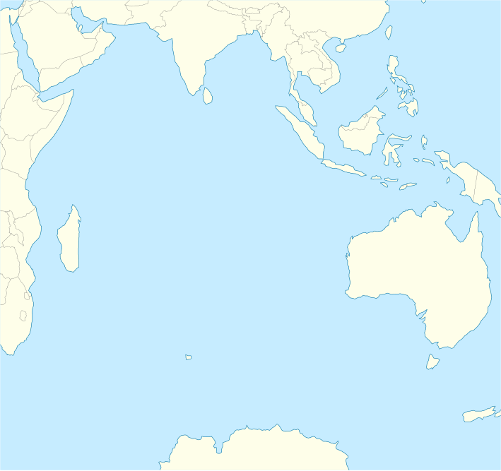
English: Location map of the Indian Ocean.
|
| Date | |
| Source | Own work |
| Author | Tentotwo |
Shell script for generating the map using GMT archive copy at the Wayback Machine edit
#!/bin/sh

# Set common options
PROJECTION=A90.0/-20.0/180/19.998266666666666c
REGION=-12.856058461183775/-43.848273739920856/151.50519408595028/33.22162400070504r
FILENAME=Indian_Ocean_laea_location_map.ps

# Get Natural Earth datafiles
echo "Downloading datafiles from naturalearthdata.com"
wget -nv -nc \
 http://www.naturalearthdata.com/http//www.naturalearthdata.com/download/110m/physical/110m-coastline.zip\
 http://www.naturalearthdata.com/http//www.naturalearthdata.com/download/110m/physical/110m-land.zip\
 http://www.naturalearthdata.com/http//www.naturalearthdata.com/download/110m/cultural/110m-admin-0-boundary-lines.zip
echo "...done\n"

echo "Inflating archives"
unzip 110m\*.zip
echo "...done\n"

echo "Converting shapefiles to GMT"
ogr2ogr -F GMT 110m_land.gmt 110m_land.shp
ogr2ogr -F GMT 110m_coastline.gmt 110m_coastline.shp
ogr2ogr -F GMT 50m_borders.gmt ne_50m_admin_0_boundary_lines_land.shp
echo "...done\n"

echo "Creating maps"
GMT psxy -m -J$PROJECTION -R$REGION --PAGE_COLOR=198/236/255  --POLAR_CAP=none --PAPER_MEDIA=A3  --BASEMAP_TYPE=plain --BASEMAP_AXES=NESW --FRAME_PEN=0.15p,black 110m_land.gmt -K -G254/254/233 > $FILENAME
GMT psxy -m -J$PROJECTION -R$REGION 110m_coastline.gmt -O -K -W0.535p,9/120/171  >> $FILENAME
GMT psxy -m -J$PROJECTION -R$REGION 50m_borders.gmt -O -W100/100/100  >> $FILENAME
echo "...done\n"

echo "You can now open $FILENAME in Inkscape to clean up the file and save it as SVG. You should add an ocean coloured background and simplify the graticules using CTRL+L."

gv $FILENAME
Licensing edit
I, the copyright holder of this work, hereby publish it under the following license:
This file is licensed under the Creative Commons Attribution-Share Alike 3.0 Unported license.
- You are free:
- to share – to copy, distribute and transmit the work
- to remix – to adapt the work
- Under the following conditions:
- attribution – You must give appropriate credit, provide a link to the license, and indicate if changes were made. You may do so in any reasonable manner, but not in any way that suggests the licensor endorses you or your use.
- share alike – If you remix, transform, or build upon the material, you must distribute your contributions under the same or compatible license as the original.
File history
Click on a date/time to view the file as it appeared at that time.
| Date/Time | Thumbnail | Dimensions | User | Comment | |
|---|---|---|---|---|---|
| current | 10:02, 1 February 2012 | | 709 × 666 (168 KB) | Tentotwo (talk | contribs) |
You cannot overwrite this file.
File usage on Commons
The following 2 pages use this file:
File usage on other wikis
The following other wikis use this file:
- Usage on af.wikipedia.org
- Usage on als.wikipedia.org
- Usage on an.wikipedia.org
- Usage on ar.wikipedia.org
- Usage on ast.wikipedia.org
- Islles Agalega
- Islla Marión
- Islles Glorioses
- Islla de la Posesión
- Islla Yeye
- Islles Esvalixaes del Océanu Índicu
- Flying Fish Cove
- Islla Oeste
- Islles Ḥeard y McDonald
- Mar de les Laquedives
- Islles Mascareñes
- San Denís (Reunión)
- Islles Crozet
- Islla Saint-Paul
- Islla Ámsterdam
- Bassas da India
- Archipiélagu de Chagos
- Islla Christmas
- Aeropuertu Sir Gaëtan Duval
- Aeropuertu d'Islla Christmas
- Aeropuertu de les Islles Cocos (Keeling)
- Módulu:Mapa de llocalización/datos/Océanu Índicu/usu
- Módulu:Mapa de llocalización/datos/Océanu Índicu
- Usage on az.wikipedia.org
- Usage on ban.wikipedia.org
- Usage on ba.wikipedia.org
- Usage on bg.wikipedia.org
- Usage on bh.wikipedia.org
- Usage on ceb.wikipedia.org
View more global usage of this file.