File:Interstate90 map.png
Size of this preview: 800 × 457 pixels. Other resolutions: 320 × 183 pixels | 640 × 366 pixels.
Original file (1,050 × 600 pixels, file size: 46 KB, MIME type: image/png)
Captions
Captions
Add a one-line explanation of what this file represents
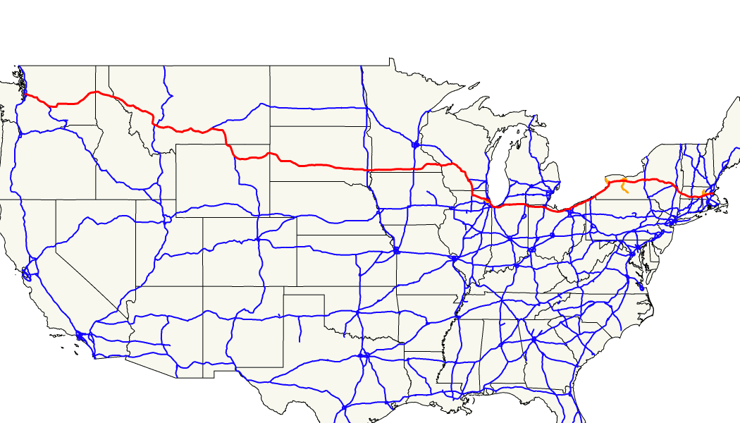
| Description | Map showing the location of Interstate 90 |
| Date | |
| Source | originally uploaded by en:User:Marvin01 as en:Image:Interstate90 map.png |
| Author | Marvin01 |
| Permission (Reusing this file) |
This file is licensed under the Creative Commons Attribution 2.0 Generic license.
|
| Other versions | Image:Interstate 90 map.png |
File history
Click on a date/time to view the file as it appeared at that time.
| Date/Time | Thumbnail | Dimensions | User | Comment | |
|---|---|---|---|---|---|
| current | 08:12, 29 July 2007 | | 1,050 × 600 (46 KB) | Spiritia (talk | contribs) | {{Information |Description= Map showing the location of Interstate 90 - Marvin01 | talk 23:22, 21 September 2005 (UTC) |Source= originally uploaded by en:User:Marvin01 as en:Image:Interstate90 map.png |Author= |Date= |Permission= {{cc-by-2.0-ma |
You cannot overwrite this file.
File usage on Commons
There are no pages that use this file.
File usage on other wikis
The following other wikis use this file:
- Usage on en.wikipedia.org