File:Iranian borders in Caspian Sea (Cro).PNG

Size of this preview: 800 × 424 pixels. Other resolutions: 320 × 170 pixels | 840 × 445 pixels.
Original file (840 × 445 pixels, file size: 411 KB, MIME type: image/png)
Captions
Captions
Add a one-line explanation of what this file represents
Summary edit
.PNG&action=edit§ion=1)
| Description |
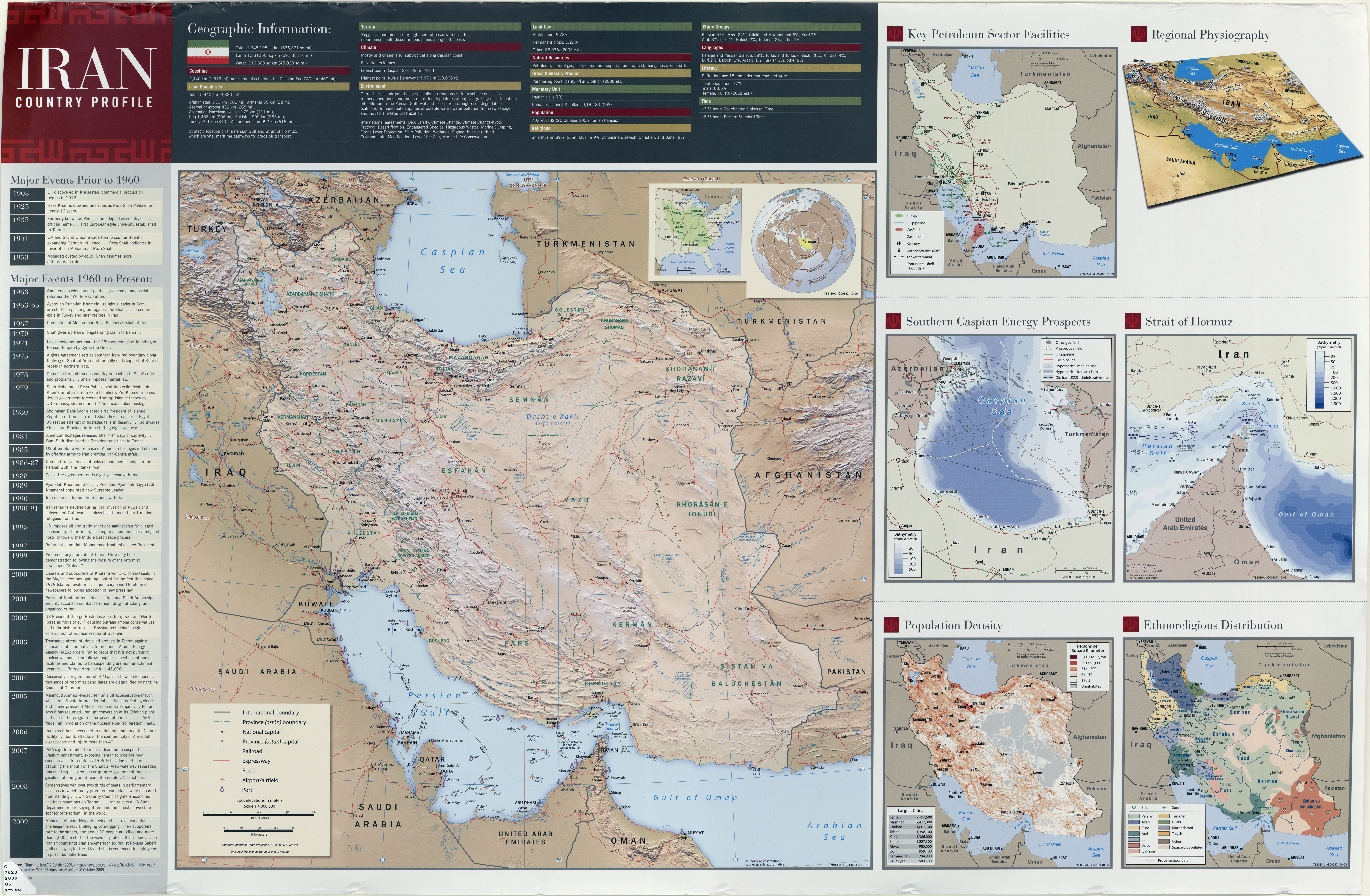
English: Iranian maritime borders in Caspian Sea with Croatian description Hrvatski: Iranske morske granice u Kaspijskom jezeru |
| Date | |
| Source |
Own work, based on: • Relief background from Maps For Free • Toponyms from Geonames with Croatian transliteration • Pirouz Mojtahed-Zadeh (2006): Boundary Politics and International Boundaries of Iran, p. 73-102. • Encyclopædia Iranica: Caspian Sea ii. Diplomatic History in Modern Times by Guive Mirfendereski • Central Intelligence Agency: Iran Country Profile (sec. Southern Caspian Energy Projects), The University of Texas at Austin |
| Author | Orijentolog |
Licensing edit
.PNG&action=edit§ion=2)
I, the copyright holder of this work, hereby publish it under the following license:
This file is licensed under the Creative Commons Attribution-Share Alike 3.0 Unported license.
- You are free:
- to share – to copy, distribute and transmit the work
- to remix – to adapt the work
- Under the following conditions:
- attribution – You must give appropriate credit, provide a link to the license, and indicate if changes were made. You may do so in any reasonable manner, but not in any way that suggests the licensor endorses you or your use.
- share alike – If you remix, transform, or build upon the material, you must distribute your contributions under the same or compatible license as the original.
File history
Click on a date/time to view the file as it appeared at that time.
| Date/Time | Thumbnail | Dimensions | User | Comment | |
|---|---|---|---|---|---|
| current | 07:14, 29 March 2012 | | 840 × 445 (411 KB) | Orijentolog (talk | contribs) |
You cannot overwrite this file.
File usage on Commons
There are no pages that use this file.
File usage on other wikis
The following other wikis use this file:
- Usage on bg.wikipedia.org
- Usage on bs.wikipedia.org
- Usage on hr.wikipedia.org
- Usage on sh.wikipedia.org
.PNG&oldid=648658548)