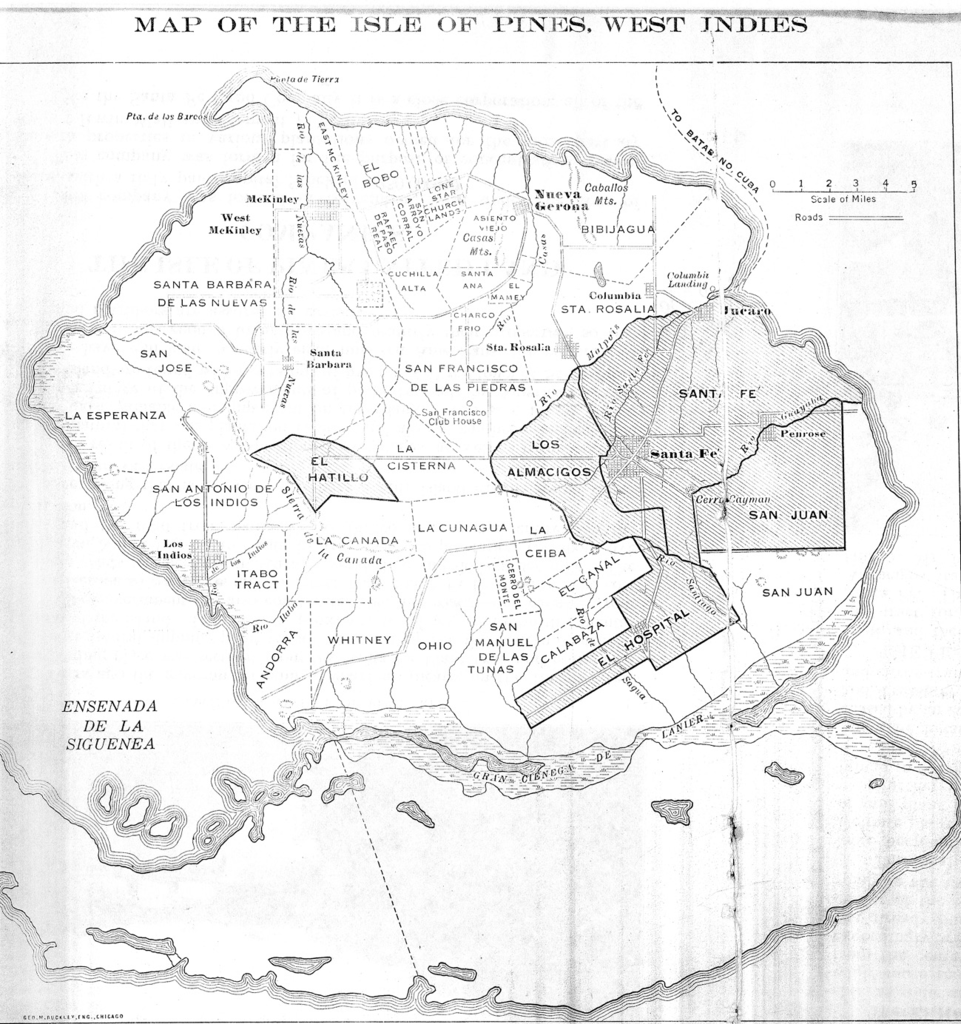
File:Isle of Pines map from 1914.png

Size of this preview: 563 × 600 pixels. Other resolutions: 225 × 240 pixels | 450 × 480 pixels | 721 × 768 pixels | 961 × 1,024 pixels | 1,299 × 1,384 pixels.
Original file (1,299 × 1,384 pixels, file size: 1,020 KB, MIME type: image/png)
Captions
Captions
Isle of Pines map from 1914
Summary edit
| Description |
English: Isle of Pines map from 1914 |
| Date | |
| Source | https://www.cambridge.org/core/books/americas-forgotten-colony/promoting-a-new-frontier/CE1ADEAAD81EE208E922A578F2CC697C/core-reader |
| Author | Anonymous |
Licensing edit
This work is in the public domain in the United States because it was published (or registered with the U.S. Copyright Office) before January 1, 1929.
Public domain works must be out of copyright in both the United States and in the source country of the work in order to be hosted on the Commons. If the work is not a U.S. work, the file must have an additional copyright tag indicating the copyright status in the source country.
Note: This tag should not be used for sound recordings. |
File history
Click on a date/time to view the file as it appeared at that time.
| Date/Time | Thumbnail | Dimensions | User | Comment | |
|---|---|---|---|---|---|
| current | 22:08, 21 July 2019 | | 1,299 × 1,384 (1,020 KB) | Richard Arthur Norton (1958- ) (talk | contribs) | User created page with UploadWizard |
You cannot overwrite this file.
File usage on Commons
There are no pages that use this file.
File usage on other wikis
The following other wikis use this file:
- Usage on fr.wikipedia.org