File:Istres BA125.png

Size of this preview: 600 × 600 pixels. Other resolutions: 240 × 240 pixels | 480 × 480 pixels | 901 × 901 pixels.
Original file (901 × 901 pixels, file size: 581 KB, MIME type: image/png)
Captions
Captions
Add a one-line explanation of what this file represents
| Camera location | | View this and other nearby images on: OpenStreetMap |
|---|
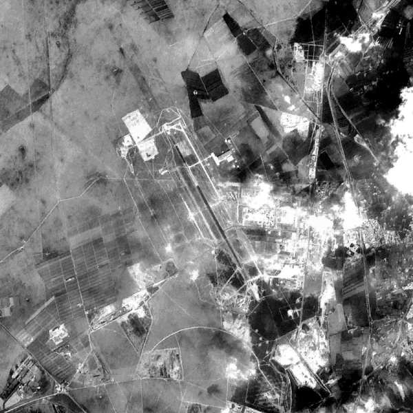
This image was generated by the NGA Raster Roam application, at coordinates 43°31'21"N 04°55'25"E.
This image is a work of the United States National Geospatial-Intelligence Agency or one of its predecessor agencies. As a work of the U.S. federal government, the image is in the public domain.
|
 |
File history
Click on a date/time to view the file as it appeared at that time.
| Date/Time | Thumbnail | Dimensions | User | Comment | |
|---|---|---|---|---|---|
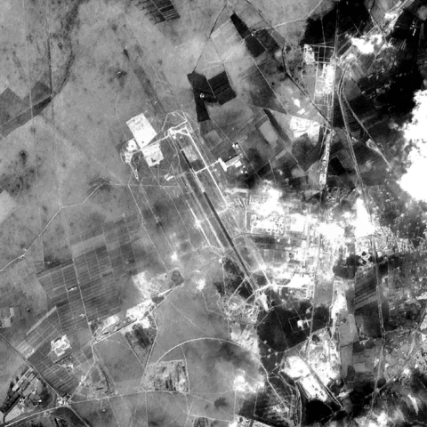
| current | 18:26, 16 November 2010 | | 901 × 901 (581 KB) | LobStoR (talk | contribs) | reduced palette from 24-bit RGB to 8-bit greyscale |
| 16:03, 23 August 2009 |  | 901 × 901 (870 KB) | Bwmoll3 (talk | contribs) | edge enhanced and brightened | |
| 02:40, 26 October 2005 |  | 901 × 901 (501 KB) | David.Monniaux (talk | contribs) | Base aérienne d'Istres {{NGA Raster Roam|latitude=43°31'21"N|longitude=04°55'25"E}} |
You cannot overwrite this file.
File usage on Commons
The following 2 pages use this file:
File usage on other wikis
The following other wikis use this file:
- Usage on ceb.wikipedia.org
- Usage on de.wikipedia.org
- Usage on fa.wikipedia.org
- Usage on fr.wikipedia.org
- Usage on it.wikipedia.org
- Usage on it.wikivoyage.org
- Usage on tg.wikipedia.org
- Usage on www.wikidata.org