File:Istria Croatian Adriatic.png
Istria_Croatian_Adriatic.png (596 × 559 pixels, file size: 84 KB, MIME type: image/png)
Captions
Captions
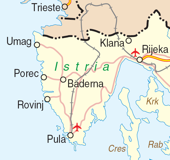
| Description | Map of Istria, Croatia | |||
| Date | ||||
| Source | http://www.un.org/Depts/Cartographic/map/profile/croatia.pdf | |||
| Author | Department of Peacekeeping Operations Cartographic Section | |||
| Permission (Reusing this file) |
|

File history
Click on a date/time to view the file as it appeared at that time.
| Date/Time | Thumbnail | Dimensions | User | Comment | |
|---|---|---|---|---|---|
| current | 16:59, 23 March 2007 | | 596 × 559 (84 KB) | Minestrone (talk | contribs) | {{Information| |Description=Map of Istria, Croatia |Source=http://www.un.org/Depts/Cartographic/map/profile/croatia.pdf |Date=June, 2004 |Author=Department of Peacekeeping Operations Cartographic Section |Permission={{UN map}} }} |
You cannot overwrite this file.
File usage on Commons
The following page uses this file:
File usage on other wikis
The following other wikis use this file:
- Usage on bs.wikipedia.org
- Usage on ceb.wikipedia.org
- Usage on de.wikipedia.org
- Usage on en.wikipedia.org
- Usage on hr.wikipedia.org
- Usage on it.wikivoyage.org
- Usage on www.wikidata.org