File:JR Kyushu 303 LED guide.jpg
![File:JR Kyushu 303 LED guide.jpg](https://upload.wikimedia.org/wikipedia/commons/thumb/7/76/JR_Kyushu_303_LED_guide.jpg/800px-JR_Kyushu_303_LED_guide.jpg?20210401051105)
Size of this preview: 800 × 450 pixels. Other resolutions: 320 × 180 pixels | 640 × 360 pixels | 1,024 × 576 pixels | 1,280 × 720 pixels | 2,560 × 1,440 pixels | 3,840 × 2,160 pixels.
Original file (3,840 × 2,160 pixels, file size: 2.15 MB, MIME type: image/jpeg)
File information
Structured data
Captions
Captions
Add a one-line explanation of what this file represents
Summary
editDescriptionJR Kyushu 303 LED guide.jpg |
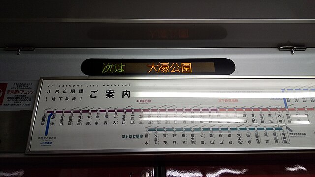
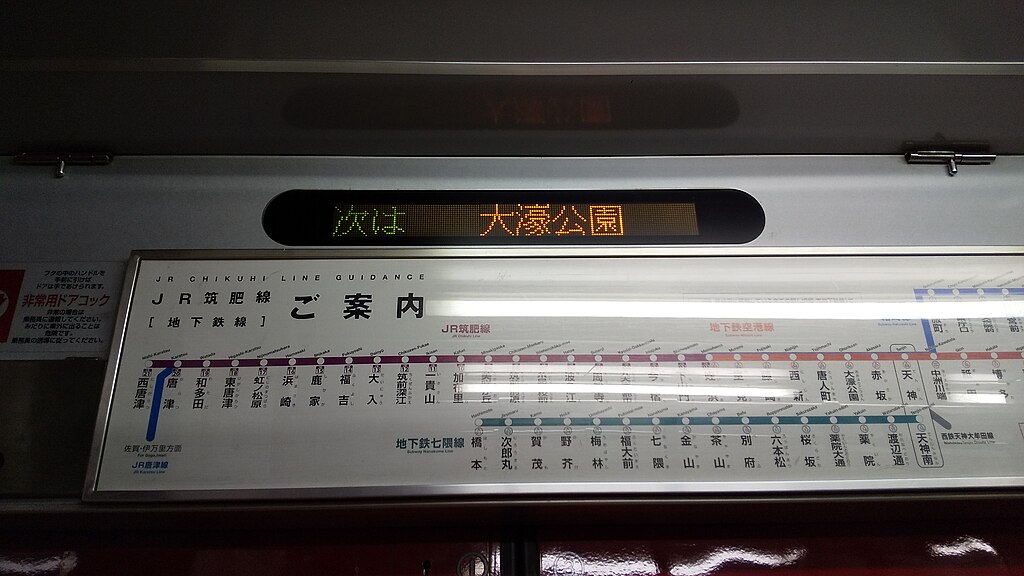
日本語: JR九州303系(K01)の車内案内表示器 |
Date | |
Source | Own work |
Author | トレインファン |
Camera location | 33° 35′ 35″ N, 130° 24′ 55″ E ![]() | View this and other nearby images on: OpenStreetMap | ![]() |
---|
Licensing
editI, the copyright holder of this work, hereby publish it under the following license:
![w:en:Creative Commons](https://upload.wikimedia.org/wikipedia/commons/thumb/7/79/CC_some_rights_reserved.svg/90px-CC_some_rights_reserved.svg.png)
![attribution](https://upload.wikimedia.org/wikipedia/commons/thumb/1/11/Cc-by_new_white.svg/24px-Cc-by_new_white.svg.png)
![share alike](https://upload.wikimedia.org/wikipedia/commons/thumb/d/df/Cc-sa_white.svg/24px-Cc-sa_white.svg.png)
This file is licensed under the Creative Commons Attribution-Share Alike 4.0 International license.
- You are free:
- to share – to copy, distribute and transmit the work
- to remix – to adapt the work
- Under the following conditions:
- attribution – You must give appropriate credit, provide a link to the license, and indicate if changes were made. You may do so in any reasonable manner, but not in any way that suggests the licensor endorses you or your use.
- share alike – If you remix, transform, or build upon the material, you must distribute your contributions under the same or compatible license as the original.
File history
Click on a date/time to view the file as it appeared at that time.
Date/Time | Thumbnail | Dimensions | User | Comment | |
---|---|---|---|---|---|
current | 05:11, 1 April 2021 | ![]() | 3,840 × 2,160 (2.15 MB) | トレインファン (talk | contribs) | Uploaded own work with UploadWizard |
You cannot overwrite this file.
File usage on Commons
The following page uses this file:
File usage on other wikis
The following other wikis use this file:
- Usage on ja.wikipedia.org
Metadata
This file contains additional information such as Exif metadata which may have been added by the digital camera, scanner, or software program used to create or digitize it. If the file has been modified from its original state, some details such as the timestamp may not fully reflect those of the original file. The timestamp is only as accurate as the clock in the camera, and it may be completely wrong.
Image title | DSC_0488 |
---|---|
Camera manufacturer | SHARP |
Camera model | SHV43 |
Exposure time | 1/40 sec (0.025) |
F-number | f/2 |
ISO speed rating | 49 |
Date and time of data generation | 14:06, 1 April 2021 |
Lens focal length | 3.432 mm |
Latitude | 33° 35′ 35″ N |
Longitude | 130° 24′ 55″ E |
Altitude | 52 meters above sea level |
Horizontal resolution | 72 dpi |
Vertical resolution | 72 dpi |
Software used | MZW_jp_kdi-user 10 SC230 03.00.05 release-keys |
File change date and time | 14:06, 1 April 2021 |
Y and C positioning | Centered |
Exif version | 2.2 |
Date and time of digitizing | 14:06, 1 April 2021 |
Meaning of each component |
|
APEX shutter speed | 5.31 |
APEX aperture | 2 |
APEX exposure bias | 0 |
Maximum land aperture | 2 APEX (f/2) |
Metering mode | Center weighted average |
Flash | Flash did not fire, compulsory flash suppression |
DateTime subseconds | 764273 |
DateTimeOriginal subseconds | 764273 |
DateTimeDigitized subseconds | 764273 |
Supported Flashpix version | 1 |
Color space | sRGB |
White balance | Auto white balance |
GPS time (atomic clock) | 04:40 |
Speed unit | Kilometers per hour |
Speed of GPS receiver | 0 |
Reference for direction of movement | True direction |
Direction of movement | 11 |
Geodetic survey data used | WGS-84 |
GPS date | 1 April 2021 |
GPS tag version | 2.2.0.0 |