File:Jaffa gate.JPG
Original file (5,184 × 3,888 pixels, file size: 7.16 MB, MIME type: image/jpeg)
Captions
Summary edit
DescriptionJaffa gate.JPG |
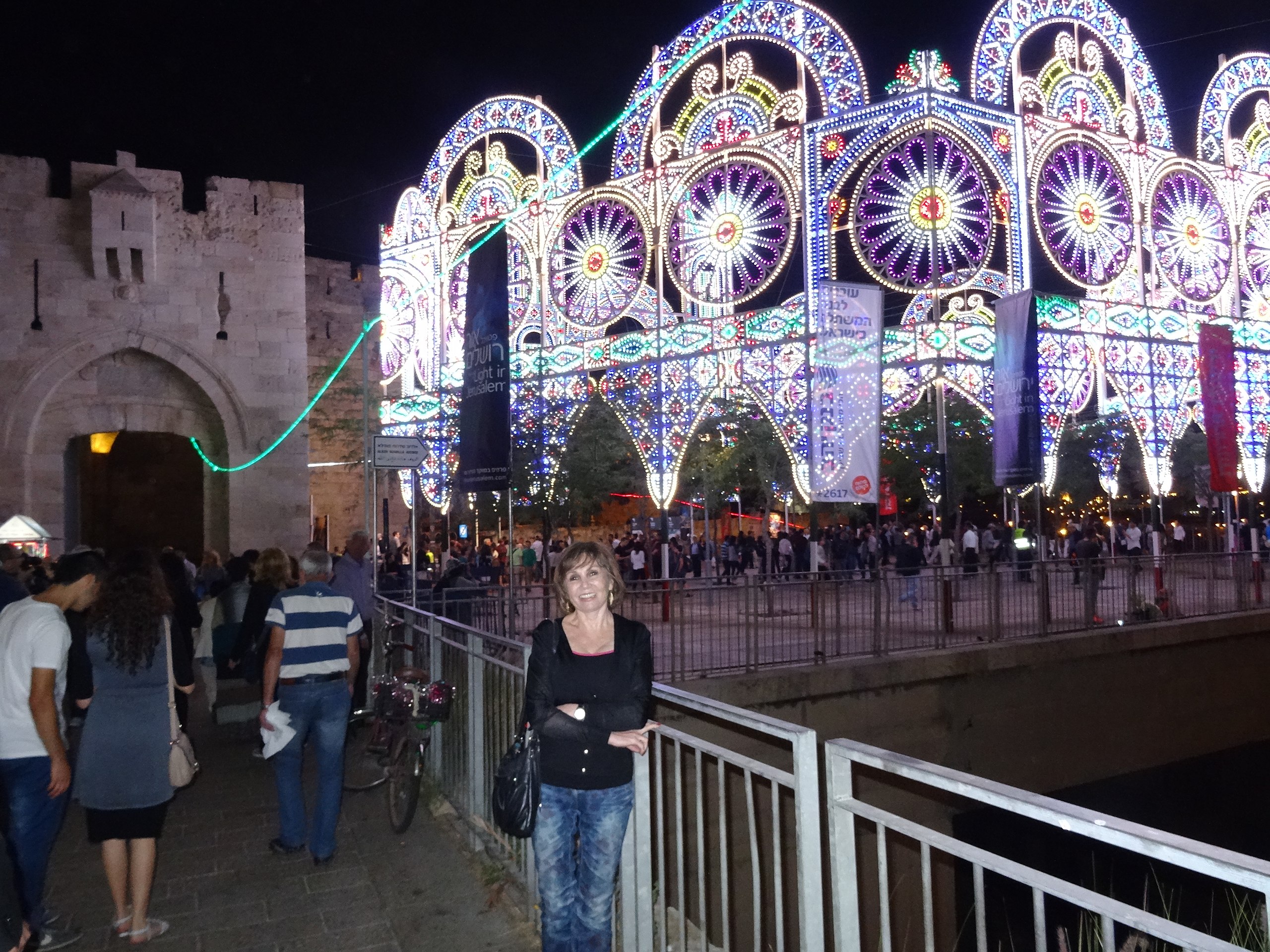
עברית: חומות העיר העתיקה נמנות עם נכסי מורשת התרבות החשובים של ירושלים. הן ללא ספק מונומנט בולט ומשפיע בנוף האורבני של העיר בעבר ובהווה. החומה, כפי שהיא מוכרת כיום, נבנתה בתקופה העות'מאנית, בשנת 1537, על ידי הסולטן סולימאן הגדול, והיא המאוחרת ממערכות הביצורים שהקיפו את ירושלים במשך ההיסטוריה.
|
||
Date | |||
Source | Own work | ||
Author | Cohariel |
Camera location | 31° 46′ 36.43″ N, 35° 13′ 38.27″ E | View this and other nearby images on: OpenStreetMap | 31.776785; 35.227296 |
---|
Licensing edit
- You are free:
- to share – to copy, distribute and transmit the work
- to remix – to adapt the work
- Under the following conditions:
- attribution – You must give appropriate credit, provide a link to the license, and indicate if changes were made. You may do so in any reasonable manner, but not in any way that suggests the licensor endorses you or your use.
- share alike – If you remix, transform, or build upon the material, you must distribute your contributions under the same or compatible license as the original.
This image was uploaded as part of Wiki Loves Monuments 2014.
Afrikaans ∙ Alemannisch ∙ azərbaycanca ∙ Bahasa Indonesia ∙ Bahasa Melayu ∙ Bikol Central ∙ bosanski ∙ brezhoneg ∙ català ∙ čeština ∙ Cymraeg ∙ dansk ∙ davvisámegiella ∙ Deutsch ∙ eesti ∙ English ∙ español ∙ Esperanto ∙ euskara ∙ français ∙ Frysk ∙ Gaeilge ∙ galego ∙ hrvatski ∙ Ido ∙ italiano ∙ latviešu ∙ Lëtzebuergesch ∙ Malagasy ∙ magyar ∙ Malti ∙ Nederlands ∙ norsk ∙ norsk nynorsk ∙ norsk bokmål ∙ polski ∙ português ∙ português do Brasil ∙ română ∙ shqip ∙ sicilianu ∙ slovenčina ∙ slovenščina ∙ suomi ∙ svenska ∙ Tagalog ∙ Türkçe ∙ Yorùbá ∙ Zazaki ∙ Ελληνικά ∙ беларуская ∙ беларуская (тарашкевіца) ∙ български ∙ кыргызча ∙ македонски ∙ русский ∙ српски / srpski ∙ українська ∙ ქართული ∙ հայերեն ∙ नेपाली ∙ हिन्दी ∙ বাংলা ∙ മലയാളം ∙ ไทย ∙ 한국어 ∙ +/− |
Annotations InfoField | This image is annotated: View the annotations at Commons |
אלרוב שדרות ממילא
ALROV MAMILLA AVENUE sign
File history
Click on a date/time to view the file as it appeared at that time.
Date/Time | Thumbnail | Dimensions | User | Comment | |
---|---|---|---|---|---|
current | 08:38, 23 October 2014 | 5,184 × 3,888 (7.16 MB) | Cohariel (talk | contribs) | User created page with UploadWizard |
You cannot overwrite this file.
File usage on Commons
There are no pages that use this file.
Metadata
This file contains additional information such as Exif metadata which may have been added by the digital camera, scanner, or software program used to create or digitize it. If the file has been modified from its original state, some details such as the timestamp may not fully reflect those of the original file. The timestamp is only as accurate as the clock in the camera, and it may be completely wrong.
Camera manufacturer | SONY |
---|---|
Camera model | DSC-HX50V |
Exposure time | 1/30 sec (0.033333333333333) |
F-number | f/3.5 |
ISO speed rating | 800 |
Date and time of data generation | 21:25, 11 June 2014 |
Lens focal length | 4.3 mm |
Latitude | 31° 46′ 36.43″ N |
Longitude | 35° 13′ 38.27″ E |
Altitude | 782.5 meters above sea level |
Orientation | Normal |
Horizontal resolution | 350 dpi |
Vertical resolution | 350 dpi |
Software used | DSC-HX50V v1.00 |
File change date and time | 21:25, 11 June 2014 |
Y and C positioning | Co-sited |
Exposure Program | Normal program |
Exif version | 2.3 |
Date and time of digitizing | 21:25, 11 June 2014 |
Meaning of each component |
|
Image compression mode | 3 |
APEX brightness | 0.97421875 |
APEX exposure bias | 0 |
Maximum land aperture | 3.6171875 APEX (f/3.5) |
Metering mode | Pattern |
Light source | Unknown |
Flash | Flash fired, strobe return light not detected, auto mode |
Supported Flashpix version | 1 |
Color space | sRGB |
File source | Digital still camera |
Scene type | A directly photographed image |
Custom image processing | Normal process |
Exposure mode | Auto exposure |
White balance | Auto white balance |
Digital zoom ratio | 1 |
Scene capture type | Standard |
Contrast | Normal |
Saturation | Normal |
Sharpness | Normal |
GPS time (atomic clock) | 19:25 |
Receiver status | Measurement in progress |
Measurement mode | 3-dimensional measurement |
Measurement precision | Poor (1.83) |
Speed unit | Kilometers per hour |
Speed of GPS receiver | 2.52 |
Reference for direction of movement | True direction |
Direction of movement | 340.03 |
Geodetic survey data used | WGS-84 |
GPS date | 11 June 2014 |
GPS differential correction | 0 |
GPS tag version | 0.0.3.2 |