File:Japan Nansei-Shoto Map Chikei.gif
Japan_Nansei-Shoto_Map_Chikei.gif (710 × 485 pixels, file size: 58 KB, MIME type: image/gif)
Captions
Captions
Summary edit
| Description |
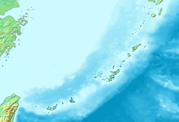
Deutsch: topografische Karte der Nansei-Inseln
English: topographic map of the Nansei Islands
Français : Carte topographique de l'Archipel Nansei
日本語: 南西諸島全域の地形図
|
||||||
| Date | |||||||
| Source |
|
||||||
| Author |
|
||||||
| Permission (Reusing this file) |
|
||||||
Licensing edit
| This file is licensed under the Creative Commons Attribution-Share Alike 3.0 Unported license. Subject to disclaimers. | ||
| ||
| This licensing tag was added to this file as part of the GFDL licensing update. |

|
Permission is granted to copy, distribute and/or modify this document under the terms of the GNU Free Documentation License, Version 1.2 or any later version published by the Free Software Foundation; with no Invariant Sections, no Front-Cover Texts, and no Back-Cover Texts. A copy of the license is included in the section entitled GNU Free Documentation License. Subject to disclaimers. |
Original upload log edit
- 2005-03-27 07:08 Peka 710×485× (59112 bytes) *[[南西諸島]]全域の地形図です。 *出所は[http://www.demis.nl/mapserver/]です。 {{GFDL}}
| This file was moved from Japanese Wikipedia.
See below for original file information. | ||||||||||||||||||||||||||||
| ||||||||||||||||||||||||||||
|
| ||||||||||||||||||||||||||||
File history
Click on a date/time to view the file as it appeared at that time.
| Date/Time | Thumbnail | Dimensions | User | Comment | |
|---|---|---|---|---|---|
| current | 16:10, 13 January 2012 | | 710 × 485 (58 KB) | Mps2 (talk | contribs) |
You cannot overwrite this file.
File usage on Commons
The following 3 pages use this file:
File usage on other wikis
The following other wikis use this file:
- Usage on fr.wikipedia.org
- Usage on ja.wikipedia.org
- Usage on www.wikidata.org