File:Jersey location map.svg

Size of this PNG preview of this SVG file: 460 × 600 pixels. Other resolutions: 184 × 240 pixels | 368 × 480 pixels | 589 × 768 pixels | 785 × 1,024 pixels | 1,570 × 2,048 pixels | 1,325 × 1,728 pixels.
Original file (SVG file, nominally 1,325 × 1,728 pixels, file size: 169 KB)
Captions
Captions
Add a one-line explanation of what this file represents
| Description |
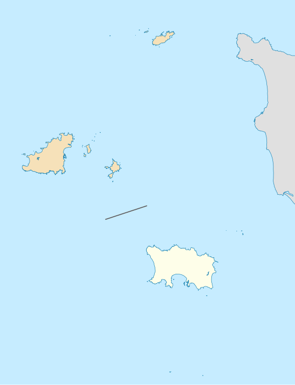
Deutsch: Positionskarte der Vogtei Jersey Geographische Begrenzung der Karte: * N: 49.8° N * S: 49.1° N * W: 2.75° W * O: 1.75° W English: Location map of the Bailiwick of Jersey Geographic limits of the map: * N: 49.8° N * S: 49.1° N * W: 2.75° W * E: 1.75° W |
| Date | (UTC) |
| Source | |
| Author |
|
| This is a retouched picture, which means that it has been digitally altered from its original version. Modifications: highlight the Bailiwick. The original can be viewed here: Channel Islands location map.svg:
|
I, the copyright holder of this work, hereby publish it under the following license:
This file is licensed under the Creative Commons Attribution-Share Alike 2.0 Generic license.
- You are free:
- to share – to copy, distribute and transmit the work
- to remix – to adapt the work
- Under the following conditions:
- attribution – You must give appropriate credit, provide a link to the license, and indicate if changes were made. You may do so in any reasonable manner, but not in any way that suggests the licensor endorses you or your use.
- share alike – If you remix, transform, or build upon the material, you must distribute your contributions under the same or compatible license as the original.
Original upload log edit
This image is a derivative work of the following images:
- File:Channel_Islands_location_map.svg licensed with Cc-by-sa-2.0
- 2010-02-15T19:01:16Z NordNordWest 1325x1426 (180215 Bytes) == {{int:filedesc}} == {{Information |Description= {{de|Positionskarte der [[:de:Kanalinseln|Kanalinseln]]}} Geographische Begrenzung der Karte: * N: 49.8° N * S: 49.1° N * W: 2.75° W * O: 1.75° W {{en|Location map of the
Uploaded with derivativeFX
File history
Click on a date/time to view the file as it appeared at that time.
| Date/Time | Thumbnail | Dimensions | User | Comment | |
|---|---|---|---|---|---|
| current | 18:13, 17 February 2010 | | 1,325 × 1,728 (169 KB) | Xfigpower (talk | contribs) | extend for fr:Minquiers |
| 12:57, 17 February 2010 |  | 1,325 × 1,426 (179 KB) | Xfigpower (talk | contribs) | {{Information |Description={{de|Positionskarte der Vogtei Jersey}} Geographische Begrenzung der Karte: * N: 49.8° N * S: 49.1° N * W: 2.75° W * O: 1.75° W {{en|Location map of the Bailiwick of Jersey}} Geographic limits o |
You cannot overwrite this file.
File usage on Commons
There are no pages that use this file.
File usage on other wikis
The following other wikis use this file:
- Usage on ceb.wikipedia.org
- Plantilya:Location map Jersey
- Saint John
- Pinnacle Rock
- Green Island
- Saint Lawrence
- Long Rock
- Black Rock
- White Rock
- North Rock
- East Rock
- Southeast Rock
- Joli
- Flat Rock
- Baleine
- Fourche
- Green Rock
- South Reef
- West Rock
- Platte
- Oyster Rock
- North West Reef
- Jubilee
- Cormorant Rock
- North West Head
- St Peter
- Eureka
- St Lawrence
- St. Peter
- Crow Rock
- Gifford Bay
- Grosse Tête
- Grosse Tete
- La Grosse Tête
- Le Pinacle
- L'Islet
- Shamrock Bank
- Southwest Rock
- Trinity
- Sharp Rock
- Jersey Harbour
- Saint Martin (pagklaro)
- La Platte
- Les Landes
- La Jument
- Rousse Rock
- La Sambue
- Saint Catherines Bay
- St. Mary
- La Corbière (pagklaro)
- Pleinmont Point
View more global usage of this file.