File:Jindřichohradecká místní dráha 2.jpg

Size of this preview: 800 × 600 pixels. Other resolutions: 320 × 240 pixels | 640 × 480 pixels | 1,024 × 768 pixels | 1,280 × 960 pixels | 2,048 × 1,536 pixels.
Original file (2,048 × 1,536 pixels, file size: 528 KB, MIME type: image/jpeg)
Captions
Captions
Add a one-line explanation of what this file represents
Summary edit
| Description |
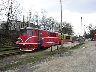
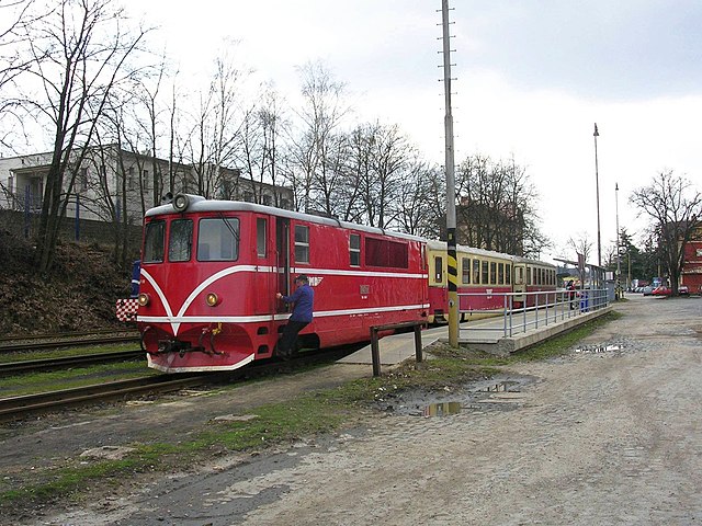
Čeština: Jindřichův Hradec, úzkorozchodná dráha společnosti Jindřichohradecké místní dráhy |
||
| Date | |||
| Source | vlastní fotografie/own works | ||
| Author | User:ŠJů | ||
| Permission (Reusing this file) |
|
| Camera location | | View this and other nearby images on: OpenStreetMap |
|---|
File history
Click on a date/time to view the file as it appeared at that time.
| Date/Time | Thumbnail | Dimensions | User | Comment | |
|---|---|---|---|---|---|
| current | 21:28, 6 February 2009 | | 2,048 × 1,536 (528 KB) | ŠJů (talk | contribs) | color adjust |
| 16:51, 4 September 2006 |  | 2,048 × 1,536 (450 KB) | ŠJů (talk | contribs) | {{Information |Description=Jindřichův Hradec, úzkokorozchodná dráha společnosti Jindřichohradecké místní dráhy |Source=vlastní fotografie/own works |Date=19.04.2006 |Author=User:ŠJů |Permission=viz níže/see below }} [[ |
You cannot overwrite this file.
File usage on Commons
The following 2 pages use this file: