File:Kadastrale-kaart-1832.jpg

Size of this preview: 593 × 600 pixels. Other resolutions: 237 × 240 pixels | 475 × 480 pixels | 876 × 886 pixels.
Original file (876 × 886 pixels, file size: 92 KB, MIME type: image/jpeg)
Captions
Captions
Add a one-line explanation of what this file represents
Summary edit
| Description |
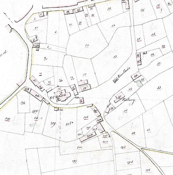
Nederlands: Kadastrale kaart van een deel van Tongelre (thans gemeente Eindhoven), Nederland |
| Date | |
| Source | http://watwaswaar.nl/#Zb-GO-A-ed-1v-1D-3Yf8-15p4---iv9 |
| Author | Dienst voor het kadaster en de openbare registers |
Licensing edit
|
This work is in the public domain in its country of origin and other countries and areas where the copyright term is the author's life plus 100 years or fewer. | |
| This file has been identified as being free of known restrictions under copyright law, including all related and neighboring rights. | |
File history
Click on a date/time to view the file as it appeared at that time.
| Date/Time | Thumbnail | Dimensions | User | Comment | |
|---|---|---|---|---|---|
| current | 16:28, 8 April 2011 | | 876 × 886 (92 KB) | Wammes Waggel (talk | contribs) | {{Information |Description ={{nl|1=Kadastrale kaart van een deel van Tongelre (thans gemeente Eindhoven), Nederland}} |Source =http://watwaswaar.nl/#Zb-GO-A-ed-1v-1D-3Yf8-15p4---iv9 |Author =Dienst voor het kadaster en de openbare regis |
You cannot overwrite this file.
File usage on Commons
There are no pages that use this file.
File usage on other wikis
The following other wikis use this file:
- Usage on it.wiktionary.org
- Usage on nl.wikipedia.org
- Usage on pl.wikipedia.org