File:Kaiapoinz1.jpg

Size of this preview: 800 × 533 pixels. Other resolutions: 320 × 213 pixels | 640 × 427 pixels | 1,024 × 683 pixels | 1,280 × 853 pixels | 2,592 × 1,728 pixels.
Original file (2,592 × 1,728 pixels, file size: 626 KB, MIME type: image/jpeg)
Captions
Captions
Add a one-line explanation of what this file represents
Summary edit
| Description |
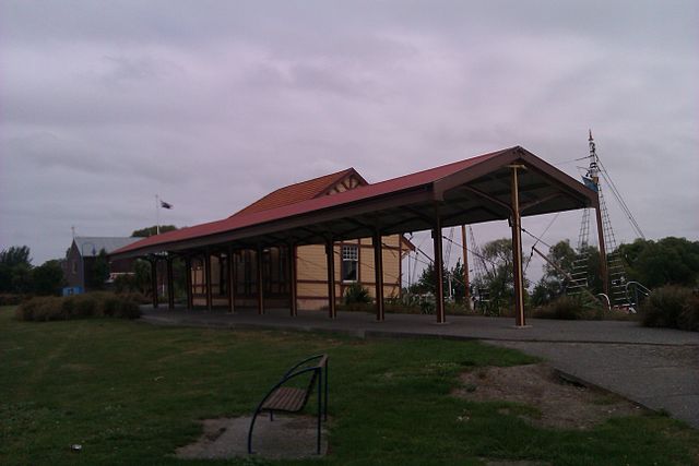
English: Old Kaiapoi Railway Station after relocation. |
| Date | |
| Source | Dlpkbr at English Wikipedia |
| Author | Dlpkbr at English Wikipedia |
| Permission (Reusing this file) |
Dlpkbr at English Wikipedia, the copyright holder of this work, hereby publishes it under the following license: This file is licensed under the Creative Commons Attribution 3.0 Unported license. Attribution: Dlpkbr at English Wikipedia
|
| Camera location | | View this and other nearby images on: OpenStreetMap |
|---|
Original upload log edit
The original description page was here. All following user names refer to en.wikipedia.
| Date/Time | Dimensions | User | Comment |
|---|---|---|---|
| 2012-01-03 10:28 | 2592×1728× (641366 bytes) | Dlpkbr |
File history
Click on a date/time to view the file as it appeared at that time.
| Date/Time | Thumbnail | Dimensions | User | Comment | |
|---|---|---|---|---|---|
| current | 05:18, 23 July 2014 | | 2,592 × 1,728 (626 KB) | Rcbutcher (talk | contribs) | Transferred from en.wikipedia |
You cannot overwrite this file.
File usage on Commons
There are no pages that use this file.
File usage on other wikis
The following other wikis use this file:
- Usage on en.wikipedia.org