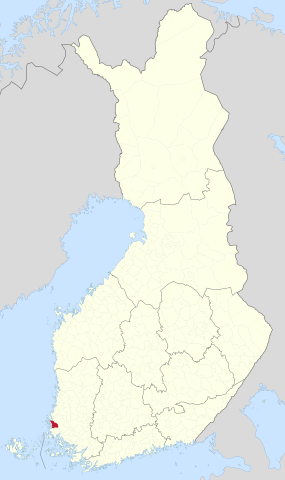
File:Kalanti.sijainti.svg

Size of this PNG preview of this SVG file: 355 × 598 pixels. Other resolutions: 142 × 240 pixels | 285 × 480 pixels | 455 × 768 pixels | 607 × 1,024 pixels | 1,215 × 2,048 pixels | 1,750 × 2,950 pixels.
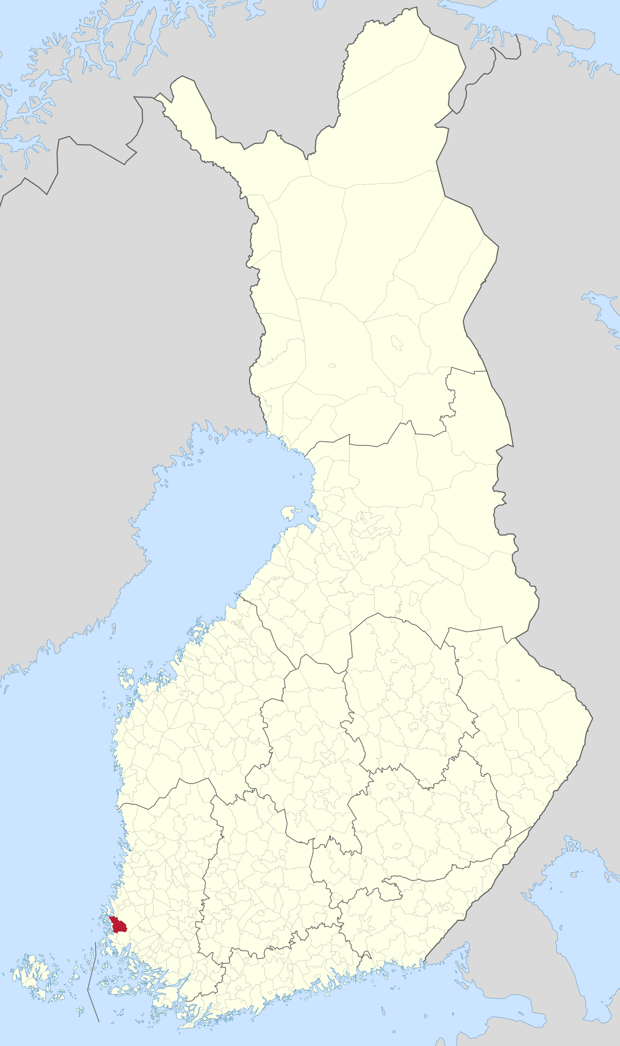
Original file (SVG file, nominally 1,750 × 2,950 pixels, file size: 1.14 MB)
Captions
Captions
Add a one-line explanation of what this file represents
Summary edit
Licensing edit
| I, the copyright holder of this work, release this work into the public domain. This applies worldwide. In some countries this may not be legally possible; if so: I grant anyone the right to use this work for any purpose, without any conditions, unless such conditions are required by law. |
File history
Click on a date/time to view the file as it appeared at that time.
| Date/Time | Thumbnail | Dimensions | User | Comment | |
|---|---|---|---|---|---|
| current | 04:45, 2 January 2021 | | 1,750 × 2,950 (1.14 MB) | Fenn-O-maniC (talk | contribs) | New base map |
| 17:27, 13 January 2010 |  | 1,850 × 3,220 (249 KB) | Pera7 (talk | contribs) | {{Information |Description={{fi|1=Kalannin sijainti Suomen kartalla}} |Source=karttapohja Care |Author=Pera7 |Date=13.1.2010 |Permission=see below |other_versions= }} Category:Kalanti Category:Suomen entiset kunnat |
You cannot overwrite this file.
File usage on Commons
The following page uses this file:
File usage on other wikis
The following other wikis use this file:
- Usage on fi.wikipedia.org