File:Karte Neckar-Enz-Stellung.png

Size of this preview: 300 × 600 pixels. Other resolutions: 120 × 240 pixels | 240 × 480 pixels | 1,000 × 2,000 pixels.
Original file (1,000 × 2,000 pixels, file size: 3.02 MB, MIME type: image/png)
Captions
Captions
Add a one-line explanation of what this file represents
Summary edit
| Description |
|
|||
| Date | ||||
| Source | self-made, created from Image:Karte Neckar-Enz-Stellung.svg and background, created with Google Maps-For-Free SRTM3 Webserver | |||
| Author | K. Jähne | |||
| Other versions |
|


Licensing edit
| This work has been released into the public domain by its author, kjunix. This applies worldwide. In some countries this may not be legally possible; if so: |
File history
Click on a date/time to view the file as it appeared at that time.
| Date/Time | Thumbnail | Dimensions | User | Comment | |
|---|---|---|---|---|---|
| current | 14:13, 21 March 2008 | | 1,000 × 2,000 (3.02 MB) | Kjunix (talk | contribs) | make some details more precise |
| 16:33, 6 January 2008 |  | 1,000 × 2,000 (3.02 MB) | Kjunix (talk | contribs) | add some Neckarsulm and Bad Rappenau, add some river labels | |
| 23:43, 3 January 2008 |  | 1,000 × 2,000 (3.01 MB) | Kjunix (talk | contribs) | Mosbach was missing... | |
| 23:18, 3 January 2008 |  | 1,000 × 2,000 (3.01 MB) | Kjunix (talk | contribs) | add more details | |
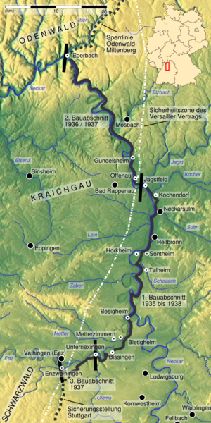
| 23:46, 1 January 2008 |  | 1,000 × 2,000 (2.88 MB) | Kjunix (talk | contribs) | == Description == {{Information| |Description = *{{de|Karte der Neckar-Enz-Stellung.}} *{{en|map of the Neckar-Enz bunker line.}} |Source = self-made, data taken from Kiener: ''Die Neckar-Enz-Stellung. Gundelsheimer Bunkerwelten.''. Relief map taken from |
You cannot overwrite this file.
File usage on Commons
The following page uses this file:
File usage on other wikis
The following other wikis use this file: