File:Karte O21 TR 2020.svg

Size of this PNG preview of this SVG file: 705 × 599 pixels. Other resolutions: 282 × 240 pixels | 565 × 480 pixels | 904 × 768 pixels | 1,205 × 1,024 pixels | 2,409 × 2,048 pixels | 1,000 × 850 pixels.
Original file (SVG file, nominally 1,000 × 850 pixels, file size: 424 KB)
Captions
Captions
Add a one-line explanation of what this file represents
Summary edit
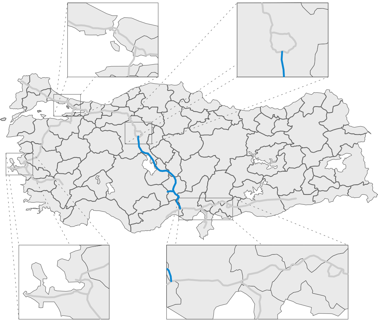
| Description |
English: Map of the finished Otoyol 21 as of December 2020 |
| Date | |
| Source | Re-edit of File:Karte_O21_TR.svg |
| Author | Ahmetlii |
| Other versions |
|


| This work is ineligible for copyright and therefore in the public domain because it consists entirely of information that is common property and contains no original authorship. |
File history
Click on a date/time to view the file as it appeared at that time.
| Date/Time | Thumbnail | Dimensions | User | Comment | |
|---|---|---|---|---|---|
| current | 19:00, 16 December 2020 | | 1,000 × 850 (424 KB) | Ahmetlii (talk | contribs) | {{Information |description={{en|1=Map of the finished Otoyol 21 as of December 2020}} |date=2020-12-16 |source=Re-edit of File:Karte_O21_TR.svg |author=Ahmetlii |permission= |other versions=<gallery> File:Karte O21 TR 2015.svg File:Karte O21 TR.svg </gallery> }} {{PD-ineligible}} Category:Maps of highways in Turkey Category:Otoyol 21 |
You cannot overwrite this file.
File usage on Commons
The following 3 pages use this file:
File usage on other wikis
The following other wikis use this file: