File:Karte Winterthur Altstadt.svg

Size of this PNG preview of this SVG file: 800 × 596 pixels. Other resolutions: 320 × 238 pixels | 640 × 477 pixels | 1,024 × 763 pixels | 1,280 × 954 pixels | 2,560 × 1,907 pixels | 2,189 × 1,631 pixels.
Original file (SVG file, nominally 2,189 × 1,631 pixels, file size: 3.71 MB)
Captions
Captions
Add a one-line explanation of what this file represents
Summary edit
| Description |
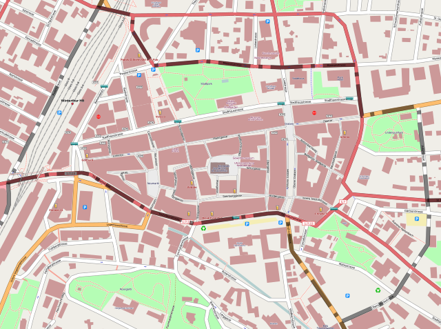
Deutsch: Karte des Winterthurer Quartier Altstadt mit eingezeichneter Grenze; basierend auf einer Karte des OpenStreetMap-Projektes
English: Map from the quarter Altstadt of the town Winterthur with borders; based on a map of the OpenStreetMap-project |
| Date | |
| Source | OpenStreetMap.org |
| Author | OpenStreetMap Editoren; zusätzliche Grenzen von fundriver |
Licensing edit
This file is licensed under the Creative Commons Attribution-Share Alike 2.0 Generic license.
- You are free:
- to share – to copy, distribute and transmit the work
- to remix – to adapt the work
- Under the following conditions:
- attribution – You must give appropriate credit, provide a link to the license, and indicate if changes were made. You may do so in any reasonable manner, but not in any way that suggests the licensor endorses you or your use.
- share alike – If you remix, transform, or build upon the material, you must distribute your contributions under the same or compatible license as the original.
File history
Click on a date/time to view the file as it appeared at that time.
| Date/Time | Thumbnail | Dimensions | User | Comment | |
|---|---|---|---|---|---|
| current | 06:31, 15 October 2008 | | 2,189 × 1,631 (3.71 MB) | Fundriver (talk | contribs) | {{Information |Description={{de|1=Karte des Winterthurer Quartier Altstadt mit eingezeichneter Grenze; basierend auf einer Karte des OpenStreetMap-Projektes}} {{en|1=Map from the quarter Altstadt of the town Winterthur with borders; based on a map of |
You cannot overwrite this file.
File usage on Commons
There are no pages that use this file.
File usage on other wikis
The following other wikis use this file:
- Usage on de.wikipedia.org