File:Karte Winterthur Tössfeld.svg

Size of this PNG preview of this SVG file: 578 × 599 pixels. Other resolutions: 232 × 240 pixels | 463 × 480 pixels | 741 × 768 pixels | 988 × 1,024 pixels | 1,976 × 2,048 pixels | 1,894 × 1,963 pixels.
Original file (SVG file, nominally 1,894 × 1,963 pixels, file size: 11.89 MB)
Captions
Captions
Add a one-line explanation of what this file represents
Summary edit
| Description |
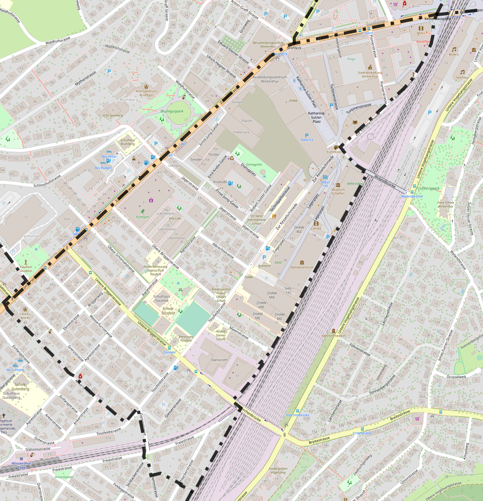
Deutsch: Karte des Winterthurer Quartier Tössfeld mit eingezeichneter Grenze; basierend auf einer Karte des OpenStreetMap-Projektes
English: Map from the quarter Tössfeld of the city Winterthur with borders; based on a map of the OpenStreetMap-project |
|||||||||
| Date | ||||||||||
| Source | You may find a page on the OpenStreetMap wiki page for Tössfeld | |||||||||
| Creator |
OpenStreetMap-Mitwirkende; zusätzliche Grenzen von User:Fundriver OpenStreetMap contributors |
|||||||||
| Permission (Reusing this file) |
OpenStreetMap data is available under the Open Database License (details). Standard style map tiles are licensed as ODbL Produced Works.
|
|||||||||
| Geotemporal data | ||||||||||
| Bounding box |
|
|||||||||
| Georeferencing | If inappropriate please set warp_status = skip to hide. | |||||||||
File history
Click on a date/time to view the file as it appeared at that time.
| Date/Time | Thumbnail | Dimensions | User | Comment | |
|---|---|---|---|---|---|
| current | 09:16, 19 June 2023 | | 1,894 × 1,963 (11.89 MB) | Fundriver (talk | contribs) | {{OpenStreetMap |name = Tössfeld |location = Quartier Tössfeld, Winterthur |description = {{de|1=Karte des Winterthurer Quartier Tössfeld mit eingezeichneter Grenze; basierend auf einer Karte des OpenStreetMap-Projektes}} {{en|1=Map from the quarter Tössfeld of the city Winterthur with borders; based on a map of the OpenStreetMap-project}} |top = 47.498941 |bottom = 47.488931 |left = 8.708646 |right = 8.722948 |date = 2023-06-19 |authors = OpenStreetMap-Mitwirkende; zusätzli... |
You cannot overwrite this file.
File usage on Commons
The following 2 pages use this file:
File usage on other wikis
The following other wikis use this file:
- Usage on de.wikipedia.org