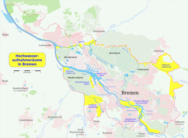
File:Karte der Hochwasseraufnahmeräume in Bremen.png

Size of this preview: 800 × 591 pixels. Other resolutions: 320 × 236 pixels | 640 × 473 pixels | 1,024 × 756 pixels | 1,280 × 945 pixels | 2,340 × 1,728 pixels.
Original file (2,340 × 1,728 pixels, file size: 1.36 MB, MIME type: image/png)
Captions
Captions
Add a one-line explanation of what this file represents
Summary edit
| Description |
|
|
| Date | ||
| Source |
Own work using:
|
|
| Author |
Maximilian Dörrbecker (Chumwa)
|
|
| Permission (Reusing this file) |
I, the copyright holder of this work, hereby publish it under the following license: This file is licensed under the Creative Commons Attribution-Share Alike 2.5 Generic license.
Sie dürfen das Bild zu den folgenden Bedingungen nutzen:
|
File history
Click on a date/time to view the file as it appeared at that time.
| Date/Time | Thumbnail | Dimensions | User | Comment | |
|---|---|---|---|---|---|
| current | 07:30, 31 May 2008 | | 2,340 × 1,728 (1.36 MB) | Chumwa (talk | contribs) | ein klein wenig mehr Umland |
| 05:25, 30 May 2008 |  | 2,340 × 1,728 (1.32 MB) | Chumwa (talk | contribs) | Umland in der Intensität etwas abgeschwächt | |
| 22:15, 29 May 2008 |  | 2,340 × 1,728 (1.34 MB) | Chumwa (talk | contribs) | und noch der hellgrüne Hintergrund | |
| 22:03, 29 May 2008 |  | 2,340 × 1,728 (1.37 MB) | Chumwa (talk | contribs) | dies und das | |
| 19:36, 29 May 2008 |  | 2,340 × 1,728 (1.38 MB) | Chumwa (talk | contribs) | {{Information |Description= *{{ de }} Karte der Hochwasseraufnahmeräume in Bremen|Source=Self made, using * PDF-Exports der Region BBremen aus [http://www.openstreetmap.org OpenStreetMap] * Broschüre '''[http://www.dvr-bremen.de/Deichverband%20Homepage/ |
You cannot overwrite this file.
File usage on Commons
The following page uses this file:
File usage on other wikis
The following other wikis use this file:
- Usage on de.wikipedia.org
- Usage on hu.wikipedia.org