File:Karte der Spandauer Straße in Berlin.png

Size of this preview: 711 × 600 pixels. Other resolutions: 285 × 240 pixels | 569 × 480 pixels | 910 × 768 pixels | 1,214 × 1,024 pixels | 1,658 × 1,399 pixels.
Original file (1,658 × 1,399 pixels, file size: 1.06 MB, MIME type: image/png)
Captions
Captions
Add a one-line explanation of what this file represents
| Description |
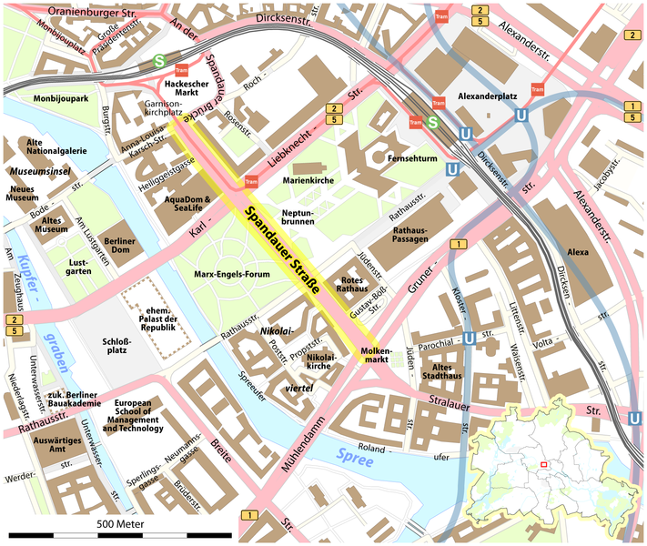
Deutsch: Karte der Spandauer Straße in Berlin |
||||||||||||
| Date | |||||||||||||
| Source |
Self made, using data from OpenStreetMap an the following files:
|
||||||||||||
| Author |
Maximilian Dörrbecker (Chumwa)
|
||||||||||||
| Permission (Reusing this file) |
Sie dürfen das Bild zu den folgenden Bedingungen nutzen:
|

File history
Click on a date/time to view the file as it appeared at that time.
| Date/Time | Thumbnail | Dimensions | User | Comment | |
|---|---|---|---|---|---|
| current | 05:49, 12 June 2009 | | 1,658 × 1,399 (1.06 MB) | Chumwa (talk | contribs) | hatte vergessen den Fußgängerzonen-Layer wieder einzublenden... |
| 05:09, 12 June 2009 |  | 1,658 × 1,399 (1.02 MB) | Chumwa (talk | contribs) | Anmerkungen von Flo Beck eingearbeitet | |
| 18:08, 11 June 2009 |  | 1,658 × 1,399 (1.06 MB) | Chumwa (talk | contribs) | Kupfergraben ist nich mehr | |
| 15:16, 11 June 2009 |  | 1,658 × 1,399 (1.06 MB) | Chumwa (talk | contribs) | weitere Anmerkungen von de:User:Platte eingearbeitet | |
| 14:30, 11 June 2009 |  | 1,658 × 1,399 (1.06 MB) | Chumwa (talk | contribs) | diverse Anmerkungen eingearbeitet | |
| 12:16, 11 June 2009 |  | 1,658 × 1,399 (1.03 MB) | Chumwa (talk | contribs) | {{Information |Description= {{ de }} Karte der Spandauer Straße in Berlin |Source=Self made, using data from OpenStreetMap an the following files: *Berlin orientation map *Bundesstraßen signs B1, [[B |
You cannot overwrite this file.
File usage on Commons
The following page uses this file:
File usage on other wikis
The following other wikis use this file:
- Usage on de.wikipedia.org
- Usage on fr.wikipedia.org
- Usage on ru.wikipedia.org