File:Kerg map.jpg

Size of this preview: 668 × 599 pixels. Other resolutions: 268 × 240 pixels | 535 × 480 pixels | 1,000 × 897 pixels.
Original file (1,000 × 897 pixels, file size: 156 KB, MIME type: image/jpeg)
Captions
Captions
Add a one-line explanation of what this file represents
Summary edit
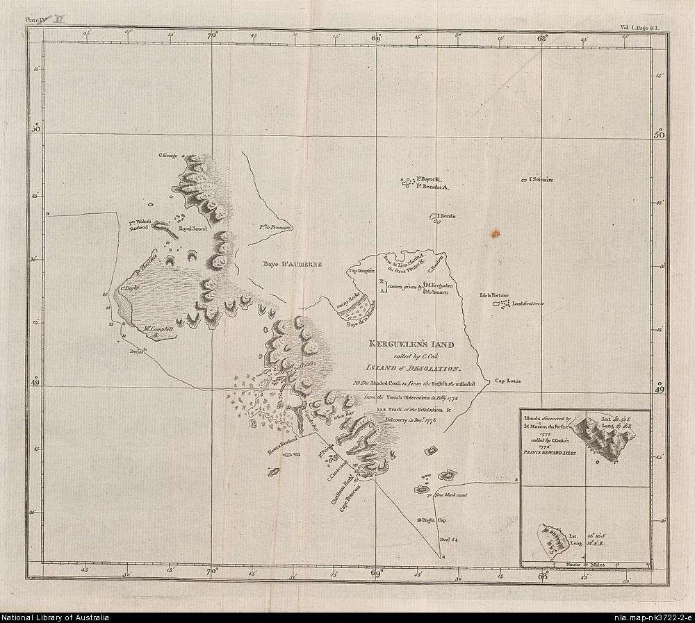
- Map drawn during the Kerguelen expedition of James Cook in 1784
- Source: http://ker45.free.fr/old/nlac.jpg from the National Library of Australia
Licensing edit

|
The copyright holder of this work allows anyone to use it for any purpose including unrestricted redistribution, commercial use, and modification.
Usage notes:
|
File history
Click on a date/time to view the file as it appeared at that time.
| Date/Time | Thumbnail | Dimensions | User | Comment | |
|---|---|---|---|---|---|
| current | 15:29, 18 February 2006 | | 1,000 × 897 (156 KB) | Varp~commonswiki (talk | contribs) | *Map drawn during the Kerguelen expedition of James Cook in 1784 *Source: [http://ker45.free.fr/old/nlac.jpg http://ker45.free.fr/old/nlac.jpg] from the National Library of Australia |
You cannot overwrite this file.
File usage on Commons
There are no pages that use this file.
File usage on other wikis
The following other wikis use this file:
- Usage on fr.wikipedia.org