File:Khyber Pakhtunkhwa flag map.png
Size of this preview: 435 × 600 pixels. Other resolutions: 174 × 240 pixels | 348 × 480 pixels | 889 × 1,226 pixels.
Original file (889 × 1,226 pixels, file size: 132 KB, MIME type: image/png)
Captions
Captions
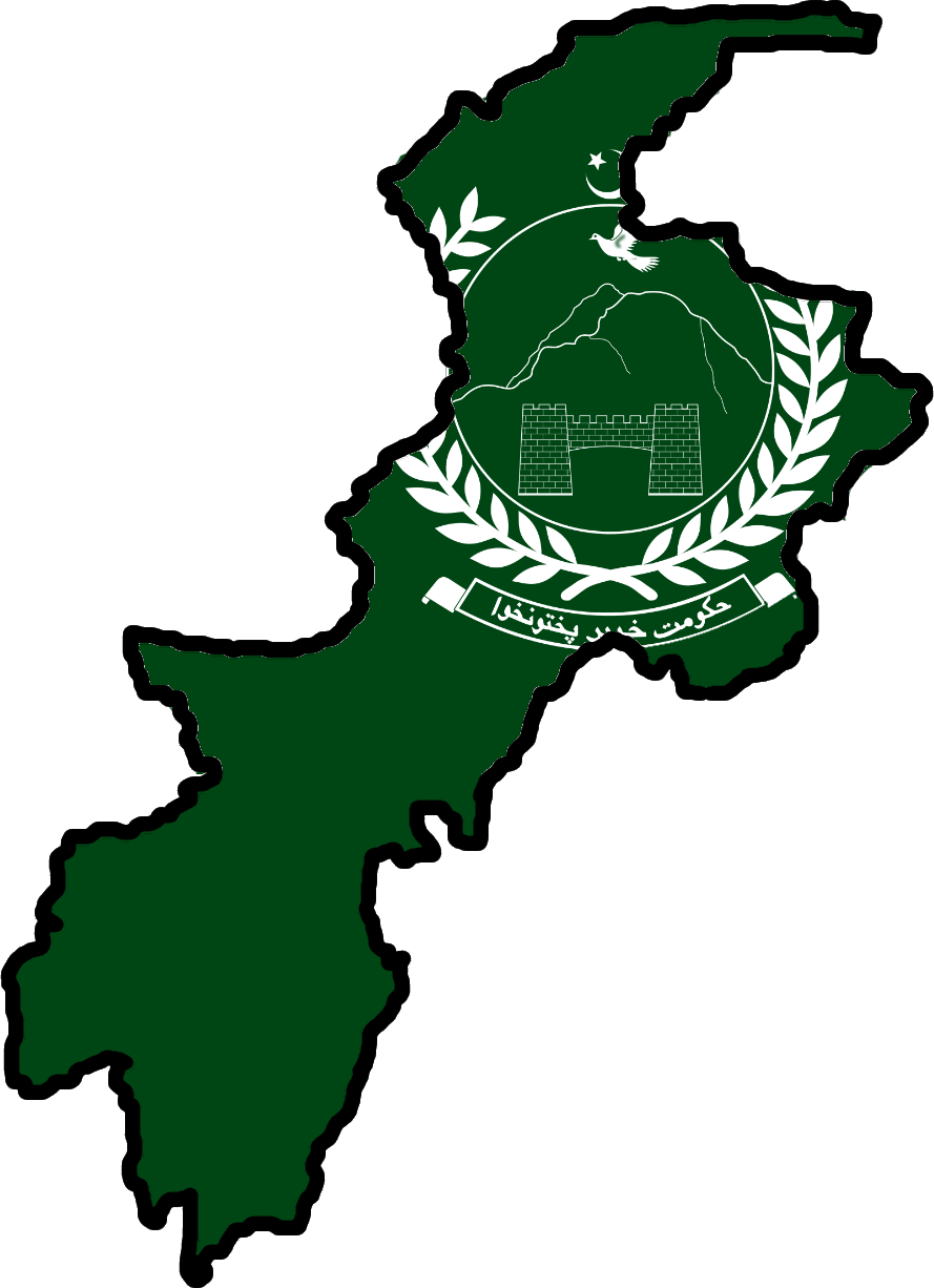
Flag Map of Khyber Pakhtunkhwa
Summary edit
| Description |
English: Flag Map of Khyber Pakhtunkhwa (with Federally Administered Tribal Area) located within Pakistan. |
| Date | |
| Source | Own work |
| Author | AT0fishIul |
Licensing edit
I, the copyright holder of this work, hereby publish it under the following license:
This file is licensed under the Creative Commons Attribution-Share Alike 4.0 International license.
- You are free:
- to share – to copy, distribute and transmit the work
- to remix – to adapt the work
- Under the following conditions:
- attribution – You must give appropriate credit, provide a link to the license, and indicate if changes were made. You may do so in any reasonable manner, but not in any way that suggests the licensor endorses you or your use.
- share alike – If you remix, transform, or build upon the material, you must distribute your contributions under the same or compatible license as the original.
File history
Click on a date/time to view the file as it appeared at that time.
| Date/Time | Thumbnail | Dimensions | User | Comment | |
|---|---|---|---|---|---|
| current | 09:45, 27 March 2023 | | 889 × 1,226 (132 KB) | AT0fishIul (talk | contribs) | Uploaded own work with UploadWizard |
You cannot overwrite this file.
File usage on Commons
The following page uses this file:
File usage on other wikis
The following other wikis use this file:
- Usage on fa.wikipedia.org