File:Kiesersche Forstkarte Nr. 253 Gegend um Strümpfelbach II.jpg
Size of this preview: 800 × 545 pixels. Other resolutions: 320 × 218 pixels | 640 × 436 pixels | 1,024 × 697 pixels.
Original file (1,024 × 697 pixels, file size: 360 KB, MIME type: image/jpeg)
Captions
Captions
Add a one-line explanation of what this file represents
Summary
edit
| Description |
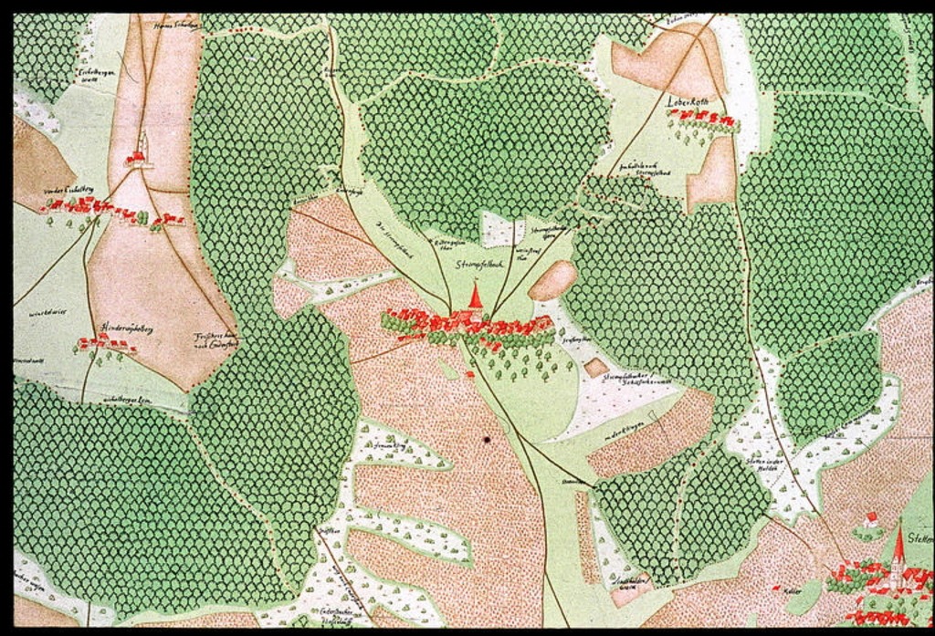
Deutsch: Ausschnitt aus der Kieserschen Forstkarte.
Originaltitel des Landesmedienzentrums: „Gegend um Strümpfelbach“ (Nr. 253). Originalbeschreibung: „Ausschnitt Strümpfelbach und Umgebung.” English: Clip of Andreas Kieser’s forest map |
|||||||||||||||||||
| Date | ||||||||||||||||||||
| Source | leo-bw.de/Fotoarchiv des Landesmedienzentrums Baden-Württemberg | |||||||||||||||||||
| Author |
|
|||||||||||||||||||
| Permission (Reusing this file) |
|
|||||||||||||||||||
File history
Click on a date/time to view the file as it appeared at that time.
| Date/Time | Thumbnail | Dimensions | User | Comment | |
|---|---|---|---|---|---|
| current | 16:39, 2 December 2012 | | 1,024 × 697 (360 KB) | Dealerofsalvation (talk | contribs) |
You cannot overwrite this file.
File usage on Commons
The following page uses this file: