File:Kindle Court Park.jpg

Size of this preview: 800 × 533 pixels. Other resolutions: 320 × 213 pixels | 640 × 427 pixels | 1,024 × 683 pixels | 1,280 × 853 pixels | 2,560 × 1,707 pixels | 6,000 × 4,000 pixels.
Original file (6,000 × 4,000 pixels, file size: 1.93 MB, MIME type: image/jpeg)
Captions
Captions
Add a one-line explanation of what this file represents
Summary edit
| Description |
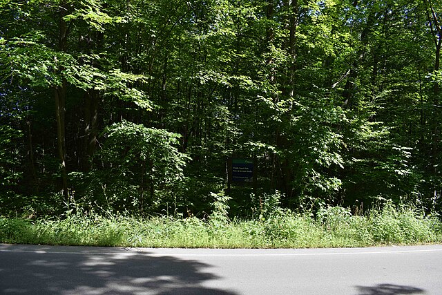
Français : Kindle Cour park in Rothwell Heights District in Ottawa, Ontario. The sign in the middle says so. |
| Date | |
| Source | Own work |
| Author | Cantons-de-l'Est |
| Object location | | View this and other nearby images on: OpenStreetMap |
|---|
| Ontario Heritage Conservation District |
English: This site is part of an Heritage Conservation District of Ontario, a province of Canada. The district identifier is 67. Français : Ce lieu fait partie d'un district de conservation du patrimoine de l'Ontario, une province du Canada. L'identifiant du district est 67. |
Licensing edit
I, the copyright holder of this work, hereby publish it under the following license:
This file is licensed under the Creative Commons Attribution-Share Alike 4.0 International license.
- You are free:
- to share – to copy, distribute and transmit the work
- to remix – to adapt the work
- Under the following conditions:
- attribution – You must give appropriate credit, provide a link to the license, and indicate if changes were made. You may do so in any reasonable manner, but not in any way that suggests the licensor endorses you or your use.
- share alike – If you remix, transform, or build upon the material, you must distribute your contributions under the same or compatible license as the original.
File history
Click on a date/time to view the file as it appeared at that time.
| Date/Time | Thumbnail | Dimensions | User | Comment | |
|---|---|---|---|---|---|
| current | 22:55, 19 August 2022 | | 6,000 × 4,000 (1.93 MB) | Cantons-de-l'Est (talk | contribs) | Uploaded own work with UploadWizard |
You cannot overwrite this file.
File usage on Commons
There are no pages that use this file.