File:Kista2002.jpg
Size of this preview: 400 × 600 pixels. Other resolutions: 160 × 240 pixels | 320 × 480 pixels | 512 × 768 pixels | 682 × 1,024 pixels | 1,365 × 2,048 pixels | 3,456 × 5,184 pixels.
Original file (3,456 × 5,184 pixels, file size: 8.01 MB, MIME type: image/jpeg)
Captions
Captions
Add a one-line explanation of what this file represents
Summary edit
| Description |
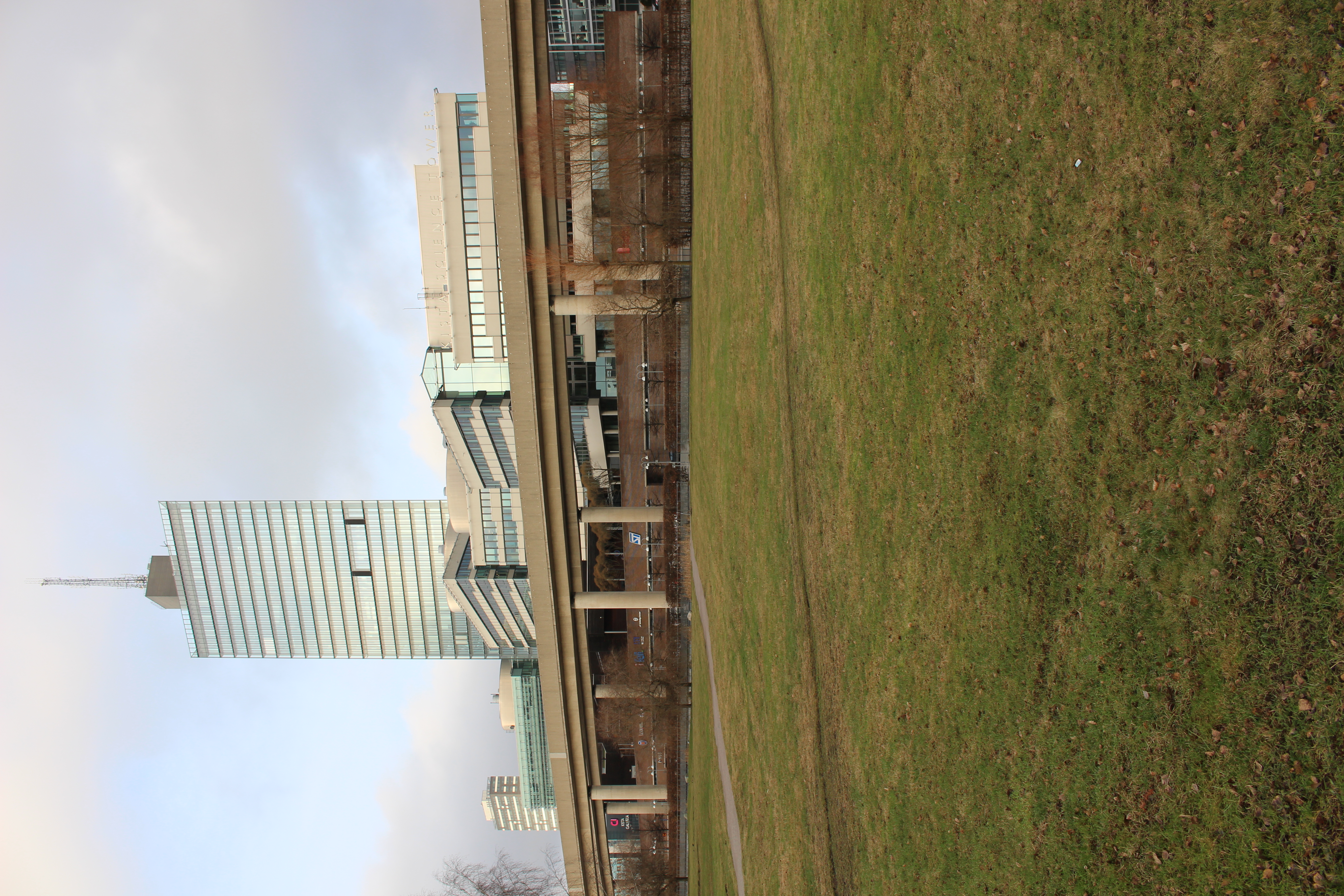
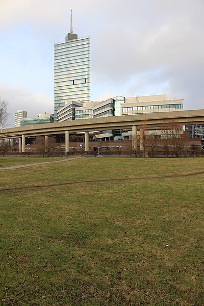
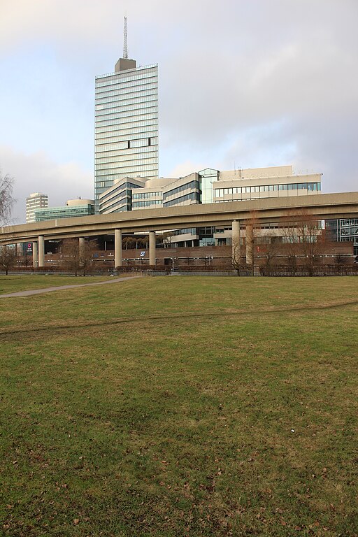
Svenska: Vy mot nordväst mot Kista Science Tower. |
| Date | |
| Source | Ulf Klingström |
| Author | Ulkl |
| Camera location | | View this and other nearby images on: OpenStreetMap |
|---|
Licensing edit
| I, the copyright holder of this work, release this work into the public domain. This applies worldwide. In some countries this may not be legally possible; if so: I grant anyone the right to use this work for any purpose, without any conditions, unless such conditions are required by law. |
File history
Click on a date/time to view the file as it appeared at that time.
| Date/Time | Thumbnail | Dimensions | User | Comment | |
|---|---|---|---|---|---|
| current | 17:21, 18 January 2020 | | 3,456 × 5,184 (8.01 MB) | Ulkl (talk | contribs) | == {{int:filedesc}} == {{Information |Description={{sv|1=Vy mot nordväst mot Kista Science Tower.}} |Source=Ulf Klingström |Author=Ulkl |Date=2020-01-17 |Permission= |other_versions= }} {{location|59|23|58.7|N|17|56|53|E|region:SE}} == {{int:license-header}} == {{PD-self}} Category:Kista Category:January 2020 in Stockholm Category:Photographs taken on 2020-01-17 |
You cannot overwrite this file.
File usage on Commons
There are no pages that use this file.