File:Kriegeralpe.JPG

Size of this preview: 800 × 531 pixels. Other resolutions: 320 × 213 pixels | 640 × 425 pixels | 1,024 × 680 pixels | 1,280 × 850 pixels | 2,560 × 1,700 pixels | 4,288 × 2,848 pixels.
Original file (4,288 × 2,848 pixels, file size: 8.31 MB, MIME type: image/jpeg)
Captions
Captions
Add a one-line explanation of what this file represents
| Description |
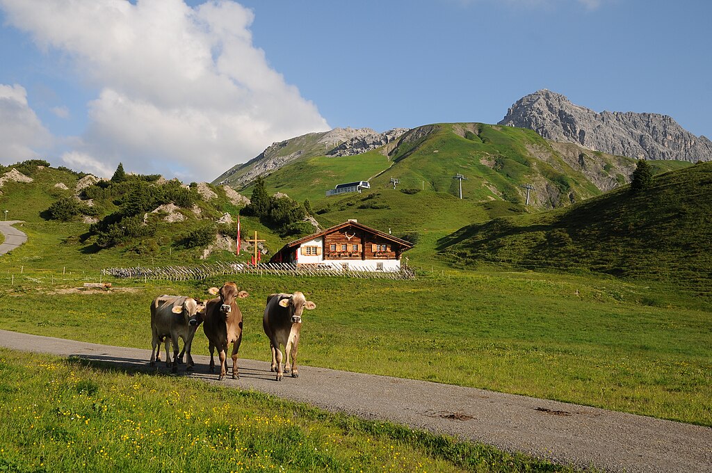
Deutsch: Am Fuße des Kriegerhorn liegt mitten im Naturschutzgebiet Gipslöcher die Kriegeralpe im Gemeindegebiet von Lech. Im Hintergrund links das Zuger Hochlicht und rechts der mächtige Gipfelgrat der 2.544m hohen Mohnenfluh. Sehr interessiert zeigen sich diese Mädchen über den Fotografen, der schon zeitig auf dem Weg ist. |
| Date | |
| Source | Own work |
| Author | böhringer friedrich |
| Permission (Reusing this file) |
I, the copyright holder of this work, hereby publish it under the following license: This file is licensed under the Creative Commons Attribution-Share Alike 2.5 Generic license.
|
This Photo was taken by Böhringer Friedrich.
|
Feel free to use my photos, but please mention me as the author and if you want send me a message. or (rufre@lenz-nenning.at) |
| Camera location | | View this and other nearby images on: OpenStreetMap |
|---|
| Annotations | This image is annotated: View the annotations at Commons |
File history
Click on a date/time to view the file as it appeared at that time.
| Date/Time | Thumbnail | Dimensions | User | Comment | |
|---|---|---|---|---|---|
| current | 21:10, 4 July 2011 | | 4,288 × 2,848 (8.31 MB) | Böhringer (talk | contribs) | {{Information |Description= {{de|Am Fuße des Kriegerhorn liegt mitten im Naturschutzgebiet Gipslöcher die Kriegeralpe im Gemeindegebiet von Lech. Im Hintergrund links das Zuger Hochlicht und rechts der mächt |
You cannot overwrite this file.
File usage on Commons
The following page uses this file:
- File:Kriegeralpe .JPG (file redirect)
File usage on other wikis
The following other wikis use this file:
- Usage on fr.wikipedia.org
- Usage on vi.wikipedia.org