File:Kruhliakivka Khata.jpg

Size of this preview: 800 × 533 pixels. Other resolutions: 320 × 213 pixels | 640 × 427 pixels | 1,024 × 683 pixels | 1,280 × 853 pixels | 2,560 × 1,707 pixels | 3,888 × 2,592 pixels.
Original file (3,888 × 2,592 pixels, file size: 4.88 MB, MIME type: image/jpeg)
Captions
Captions
Add a one-line explanation of what this file represents
Summary edit
| Description |
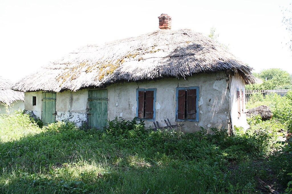
Українська: Хата XIX сторіччя у селі Кругляківка, Харківська область English: 19th century ukrainian khata in Kruhliakivka, Kharkiv Oblast, Ukraine |
| Date | |
| Source | The Ukrainian Khata (XIX cent.) |
| Author | tarosys |
| Camera location | | View this and other nearby images on: OpenStreetMap |
|---|
Licensing edit
This file is licensed under the Creative Commons Attribution 3.0 Unported license.
- You are free:
- to share – to copy, distribute and transmit the work
- to remix – to adapt the work
- Under the following conditions:
- attribution – You must give appropriate credit, provide a link to the license, and indicate if changes were made. You may do so in any reasonable manner, but not in any way that suggests the licensor endorses you or your use.
| This image, which was originally posted to Panoramio, was reviewed on 14:52, 24 February 2011 (UTC) by the administrator or trusted user Electron, who confirmed that it was available on Panoramio under the above license on that date. |
File history
Click on a date/time to view the file as it appeared at that time.
| Date/Time | Thumbnail | Dimensions | User | Comment | |
|---|---|---|---|---|---|
| current | 01:08, 21 February 2011 | | 3,888 × 2,592 (4.88 MB) | NickK (talk | contribs) | {{Information |Description={{uk|1=Хата XIX сторіччя у селі uk:Кругляківка, Харківська область}}{{en|1=19th century ukrainian khata in en:Kruhliakivka, Kharkiv Oblast, Ukraine}} |Source=[http://www.p |
You cannot overwrite this file.
File usage on Commons
The following page uses this file:
File usage on other wikis
The following other wikis use this file:
- Usage on ce.wikipedia.org
- Usage on en.wikipedia.org
- Usage on hy.wikipedia.org
- Usage on ru.wikipedia.org
- Usage on uk.wikipedia.org
- Usage on www.wikidata.org
- Usage on zh.wikipedia.org