File:Kurikomainayashiki2005-9.jpg

Size of this preview: 800 × 600 pixels. Other resolutions: 320 × 240 pixels | 640 × 480 pixels | 1,024 × 768 pixels | 1,280 × 960 pixels | 1,600 × 1,200 pixels.
Original file (1,600 × 1,200 pixels, file size: 864 KB, MIME type: image/jpeg)
Captions
Captions
Add a one-line explanation of what this file represents
Summary edit
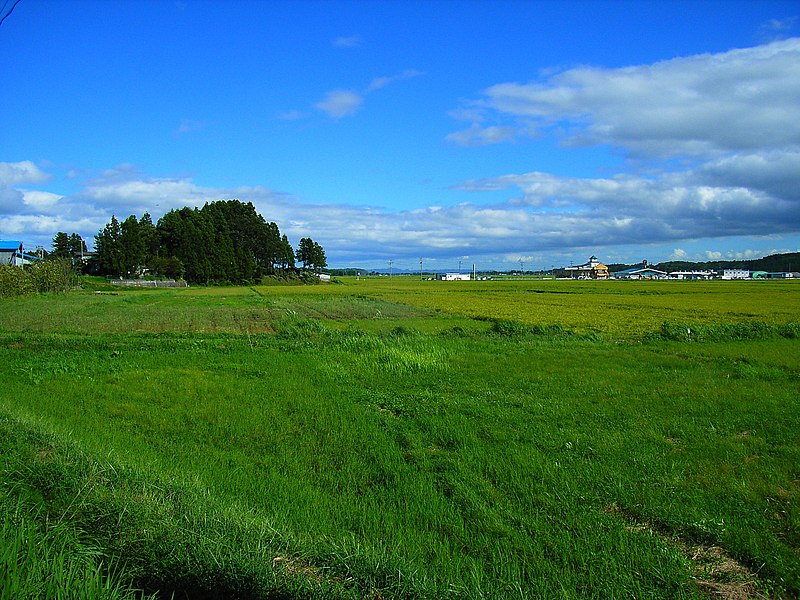
| Description | Field in Kurihara, Miyagi prefecture, Japan. |
| Date | Taken on 8 September 2005 |
| Source | No machine-readable source provided. Own work assumed (based on copyright claims). |
| Author | No machine-readable author provided. Kinori assumed (based on copyright claims). |
Licensing edit
Kinori, the copyright holder of this work, hereby publishes it under the following license:
| I, the copyright holder of this work, release this work into the public domain. This applies worldwide. In some countries this may not be legally possible; if so: I grant anyone the right to use this work for any purpose, without any conditions, unless such conditions are required by law. |
ja: 水田 edit
- 位置 - 宮城県、栗原市、栗駒稲屋敷、から南東向き。
- 撮影日 - 2005年9月8日。
- 撮影者 - Kinori。
en: Rice paddy edit
- Place - Kurikoma-Inayashiki, Kurihara, Miyagi prefecture, Japan. From the National Highway (Route) 457 toward southeast.
- Date - September 8, 2005.
- Photographer - Kinori.
es: Arrozal de agua edit
- Lugar - Kurikoma-Inayashiki, Kurihara, la prefectura de Miyagi, Japón. Desde la Carretera Nacional 457 hacia sureste.
- Fecha - Septiembre 8, 2005.
- Fotógrafo - Kinori.
File history
Click on a date/time to view the file as it appeared at that time.
| Date/Time | Thumbnail | Dimensions | User | Comment | |
|---|---|---|---|---|---|
| current | 19:53, 14 September 2005 | | 1,600 × 1,200 (864 KB) | Kinori (talk | contribs) | Field in Kurihara, Miyagi prefecture, Japan. {{PD-user|Kinori}} |
You cannot overwrite this file.
File usage on Commons
The following page uses this file:
File usage on other wikis
The following other wikis use this file:
- Usage on azb.wikipedia.org
- Usage on ja.wikipedia.org