File:Kuydusun ONC D-8.jpg

Size of this preview: 531 × 599 pixels. Other resolutions: 213 × 240 pixels | 425 × 480 pixels | 1,007 × 1,136 pixels.
Original file (1,007 × 1,136 pixels, file size: 619 KB, MIME type: image/jpeg)
Captions
Captions
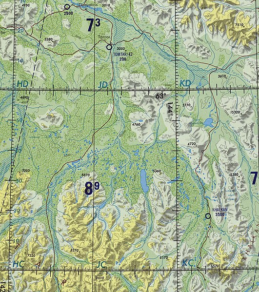
Course of the Kuydusun ONC map section
Summary edit
| Description |
English: Course of the Kuydusun ONC map section |
| Date | |
| Source | File:Operational Navigation Chart D-8 |
| Author | Defense Mapping Agency Aerospace Center, St. Louis Air Force Station, Mo |
Licensing edit
This file is licensed under the Creative Commons Attribution-Share Alike 4.0 International license.
- You are free:
- to share – to copy, distribute and transmit the work
- to remix – to adapt the work
- Under the following conditions:
- attribution – You must give appropriate credit, provide a link to the license, and indicate if changes were made. You may do so in any reasonable manner, but not in any way that suggests the licensor endorses you or your use.
- share alike – If you remix, transform, or build upon the material, you must distribute your contributions under the same or compatible license as the original.
File history
Click on a date/time to view the file as it appeared at that time.
| Date/Time | Thumbnail | Dimensions | User | Comment | |
|---|---|---|---|---|---|
| current | 16:14, 21 May 2022 | | 1,007 × 1,136 (619 KB) | Xufanc (talk | contribs) | Uploaded a work by Defense Mapping Agency Aerospace Center, St. Louis Air Force Station, Mo from File:Operational Navigation Chart D-8 with UploadWizard |
You cannot overwrite this file.
File usage on Commons
There are no pages that use this file.
File usage on other wikis
The following other wikis use this file:
- Usage on en.wikipedia.org