File:L'ivó d'Arriel Alto.jpg

Size of this preview: 800 × 582 pixels. Other resolutions: 320 × 233 pixels | 640 × 466 pixels | 1,024 × 745 pixels.
Original file (1,024 × 745 pixels, file size: 110 KB, MIME type: image/jpeg)
Captions
Captions
Add a one-line explanation of what this file represents
Summary
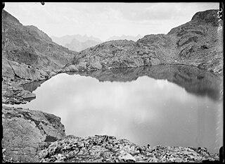
edit| Català: L'ivó d'Arriel Alto
( |
|||||||||||||||||||||
|---|---|---|---|---|---|---|---|---|---|---|---|---|---|---|---|---|---|---|---|---|---|
| Photographer |
|
||||||||||||||||||||
| Title |
Català: L'ivó d'Arriel Alto |
||||||||||||||||||||
| Original caption |
Imatge |
||||||||||||||||||||
| Description |
Català: L'ivó d'Arriel Alto. Juli Soler i Santaló (Entre 1904 i 1914) |
||||||||||||||||||||
| Depicted place | Arriel Alto, ivó (Balaitús) | ||||||||||||||||||||
| Date | Entre 1904 i 1914 | ||||||||||||||||||||
| Dimensions | 13 x 18 cm. | ||||||||||||||||||||
| Collection |
|
||||||||||||||||||||
| Current location |
Fons Juli Soler i Santaló |
||||||||||||||||||||
| Accession number |
AFCEC_SOLER_D_0125 |
||||||||||||||||||||
| Credit line | Centre Excursionista de Catalunya (depositor) | ||||||||||||||||||||
| Source | http://mdc.csuc.cat/cdm/singleitem/collection/afceccf/id/7782/rec/1172 | ||||||||||||||||||||
| Permission (Reusing this file) |
|
||||||||||||||||||||
_(cropped).jpeg)

| Camera location | | View this and other nearby images on: OpenStreetMap |
|---|
| Annotations | This image is annotated: View the annotations at Commons |
File history
Click on a date/time to view the file as it appeared at that time.
| Date/Time | Thumbnail | Dimensions | User | Comment | |
|---|---|---|---|---|---|
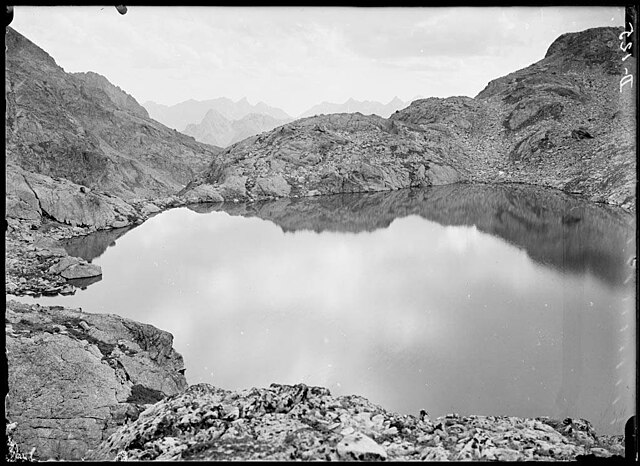
| current | 13:44, 30 March 2019 | | 1,024 × 745 (110 KB) | KRLS (talk | contribs) | == {{int:filedesc}} == {{Photograph |photographer = {{Creator:Juli Soler i Santaló}} |title = {{ca|L'estany de Campo Plano des del coll de la Facha}} |description = {{ca|''L'estany de Campo Plano des del coll de la Facha''. Juli Soler i Santaló (Entre 1904 i 1914)}} |depicted people = |depicted place = Campo Plano, Embalse de (Facha, Cuello de la) |date = Entre 1904 i 1914 |medium = |dimensions = 13 x 18 cm.... |
You cannot overwrite this file.
File usage on Commons
The following 2 pages use this file: