File:L02 092 Kreuzung Elsterquelle, Wegweiser.jpg
Size of this preview: 400 × 600 pixels. Other resolutions: 160 × 240 pixels | 320 × 480 pixels | 512 × 768 pixels | 682 × 1,024 pixels | 1,365 × 2,048 pixels | 4,370 × 6,555 pixels.
Original file (4,370 × 6,555 pixels, file size: 7.47 MB, MIME type: image/jpeg)
Captions
Captions
Add a one-line explanation of what this file represents
Summary edit
| Description |
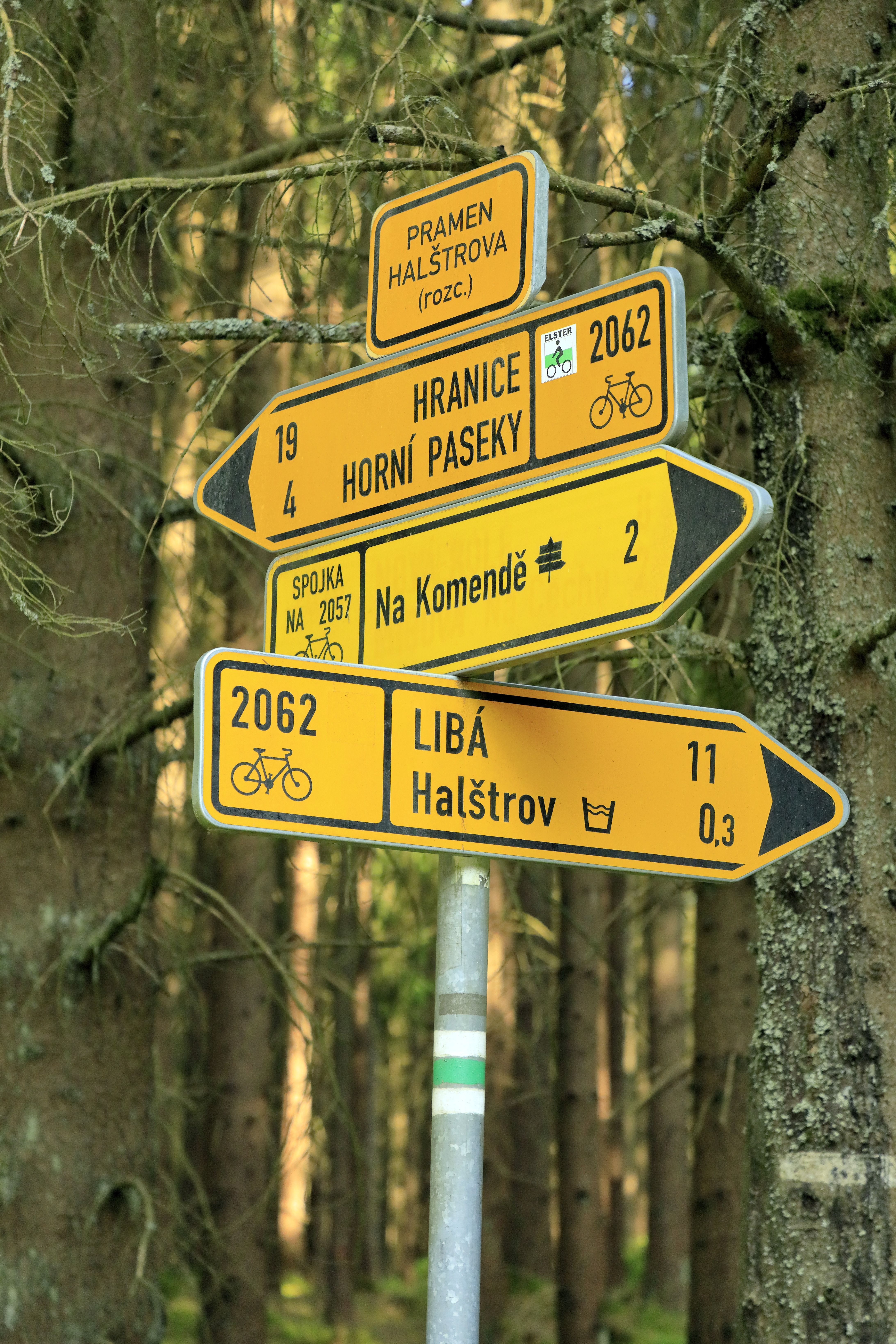
Deutsch: An der Abzweigung Pod pramenem Halštrova (Pramen Halštrova - rozc.), sie liegt an einer Forststraße etwa hundert Meter westnordwestlich von der Quellfassung. |
| Date | |
| Source | Own work |
| Author | Falk2 |
Licensing edit
This file is licensed under the Creative Commons Attribution-Share Alike 4.0 International license.
- You are free:
- to share – to copy, distribute and transmit the work
- to remix – to adapt the work
- Under the following conditions:
- attribution – You must give appropriate credit, provide a link to the license, and indicate if changes were made. You may do so in any reasonable manner, but not in any way that suggests the licensor endorses you or your use.
- share alike – If you remix, transform, or build upon the material, you must distribute your contributions under the same or compatible license as the original.
File history
Click on a date/time to view the file as it appeared at that time.
| Date/Time | Thumbnail | Dimensions | User | Comment | |
|---|---|---|---|---|---|
| current | 18:09, 6 July 2023 | | 4,370 × 6,555 (7.47 MB) | Falk2 (talk | contribs) | {{Information |Beschreibung=An der Abzweigung ''Pod pramenem Halštrova (Pramen Halštrova - rozc.)'', sie liegt an einer Forststraße etwa hundert Meter westnordwestlich von der Quellfassung. |Quelle=eigenes Werk |Urheber=Falk2 |Datum=2023-06-18 17.51 |Genehmigung= |Andere Versionen= |Anmerkungen= }} == Lizenz == {{Bild-CC-by-sa/4.0}} {{commonsfähig}} <nowiki> Category:Taken with Canon EOS 5D Mark IV and Canon EF 24-105mm F4L IS II USM Category:Falk2/2023 Bad Elster [[Ca… |
You cannot overwrite this file.
File usage on Commons
There are no pages that use this file.