File:L02 131 Grenzstein 15.8-1.jpg

Size of this preview: 400 × 600 pixels. Other resolutions: 160 × 240 pixels | 320 × 480 pixels | 512 × 768 pixels | 683 × 1,024 pixels | 1,365 × 2,048 pixels | 4,373 × 6,559 pixels.
Original file (4,373 × 6,559 pixels, file size: 9.1 MB, MIME type: image/jpeg)
Captions
Captions
Add a one-line explanation of what this file represents
Summary
edit
| Description |
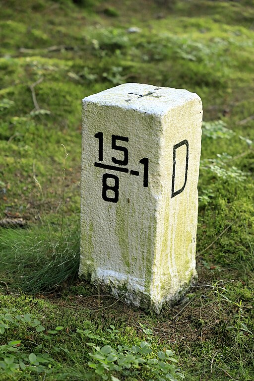
Deutsch: Am Pfad zwischen Gürth und dem Elsterradweg oberhalb von Niedereuth, die Grenzsteine wurden nach 1990 neu beschriftet. Auf die Angabe S für Sachsen, wie es nach dem zweiten Weltkrieg wieder üblich war, wurde dabei verzichtet. Der Stein 15/8-1 steht etwa zwanzig Meter südöstlich vom Pfad. |
| Date | |
| Source | Own work |
| Author | Falk2 |
Licensing
edit
This file is licensed under the Creative Commons Attribution-Share Alike 4.0 International license.
- You are free:
- to share – to copy, distribute and transmit the work
- to remix – to adapt the work
- Under the following conditions:
- attribution – You must give appropriate credit, provide a link to the license, and indicate if changes were made. You may do so in any reasonable manner, but not in any way that suggests the licensor endorses you or your use.
- share alike – If you remix, transform, or build upon the material, you must distribute your contributions under the same or compatible license as the original.
File history
Click on a date/time to view the file as it appeared at that time.
| Date/Time | Thumbnail | Dimensions | User | Comment | |
|---|---|---|---|---|---|
| current | 14:17, 7 July 2023 | | 4,373 × 6,559 (9.1 MB) | Falk2 (talk | contribs) | {{Information |Beschreibung=Am Pfad zwischen Gürth und dem Elsterradweg oberhalb von Niedereuth, die Grenzsteine wurden nach 1990 neu beschriftet. Auf die Angabe S für Sachsen, wie es nach dem zweiten Weltkrieg wieder üblich war, wurde dabei verzichtet. Der Stein 15/8-1 steht etwa zwanzig Meter südöstlich vom Pfad. |Quelle=eigenes Werk |Urheber=Falk2 |Datum=2023-06-25 19.51 |Genehmigung= |Andere Versionen= |Anmerkungen= }} == Lizenz == {{Bild-CC-by-sa/4.0}} {{commonsfähig}} <no… |
You cannot overwrite this file.
File usage on Commons
There are no pages that use this file.