File:Landschaft bei Orupembe-Kaokoveld.jpg

Size of this preview: 800 × 533 pixels. Other resolutions: 320 × 213 pixels | 640 × 427 pixels | 1,024 × 683 pixels | 1,280 × 853 pixels | 3,000 × 2,000 pixels.
Original file (3,000 × 2,000 pixels, file size: 5.75 MB, MIME type: image/jpeg)
Captions
Captions
Add a one-line explanation of what this file represents
Summary edit
| Description |
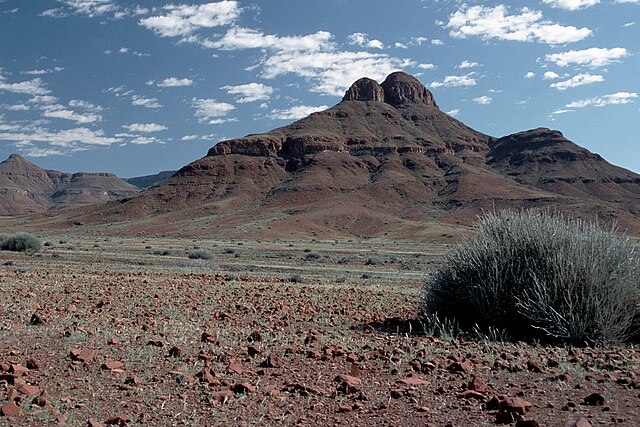
Afrikaans: Landskap noord van Orupembe in die Kaokoveld, sowat 250km noord van Palmwag in Damaraland
English: Landscape north of Orupembe in the Kaokoveld, some 250km north of Palmwag in Damaraland
Deutsch: Landschaft bei Orupembe, Kaokoveld, Namibia |
| Date | |
| Source | Own work |
| Author | Hans Stieglitz |
| Camera location | | View this and other nearby images on: OpenStreetMap |
|---|
Licensing edit
I, the copyright holder of this work, hereby publish it under the following license:
This file is licensed under the Creative Commons Attribution-Share Alike 3.0 Unported license.
- You are free:
- to share – to copy, distribute and transmit the work
- to remix – to adapt the work
- Under the following conditions:
- attribution – You must give appropriate credit, provide a link to the license, and indicate if changes were made. You may do so in any reasonable manner, but not in any way that suggests the licensor endorses you or your use.
- share alike – If you remix, transform, or build upon the material, you must distribute your contributions under the same or compatible license as the original.
File history
Click on a date/time to view the file as it appeared at that time.
| Date/Time | Thumbnail | Dimensions | User | Comment | |
|---|---|---|---|---|---|
| current | 08:36, 12 November 2009 | | 3,000 × 2,000 (5.75 MB) | Hans Stieglitz (talk | contribs) | {{Information |Description={{en|1=Landscape near Opupembe, Kaokoveld}} {{de|1=Landschaft bei Orupembe, Kaokoveld}} |Source={{own}} |Author=Hans Stieglitz |Date=2000-04-28 |Permission= |other_versions= }} |
You cannot overwrite this file.
File usage on Commons
The following page uses this file:
File usage on other wikis
The following other wikis use this file:
- Usage on af.wikipedia.org
- Usage on arz.wikipedia.org
- Usage on bg.wikipedia.org
- Usage on ca.wikipedia.org
- Usage on de.wikipedia.org
- Usage on en.wikipedia.org
- Usage on it.wikipedia.org
- Usage on nl.wikipedia.org
- Usage on sl.wikipedia.org
- Usage on www.wikidata.org