File:Lesotho location map.svg

Size of this PNG preview of this SVG file: 613 × 599 pixels. Other resolutions: 246 × 240 pixels | 491 × 480 pixels | 786 × 768 pixels | 1,048 × 1,024 pixels | 2,095 × 2,048 pixels | 1,023 × 1,000 pixels.
Original file (SVG file, nominally 1,023 × 1,000 pixels, file size: 104 KB)
Captions
Captions
Add a one-line explanation of what this file represents
| Description |
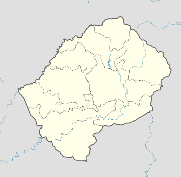
Deutsch: Positionskarte von Lesotho Quadratische Plattkarte.
English: Location map of Lesotho Equirectangular projection.
Geographic limits of the map:
|
| Date | (UTC) |
| Source | |
| Author |
|
| Other versions |
Derivative work: |

|
Permission is granted to copy, distribute and/or modify this document under the terms of the GNU Free Documentation License, Version 1.2 or any later version published by the Free Software Foundation; with no Invariant Sections, no Front-Cover Texts, and no Back-Cover Texts. A copy of the license is included in the section entitled GNU Free Documentation License. |
This file is licensed under the Creative Commons Attribution-Share Alike 3.0 Unported license.
- You are free:
- to share – to copy, distribute and transmit the work
- to remix – to adapt the work
- Under the following conditions:
- attribution – You must give appropriate credit, provide a link to the license, and indicate if changes were made. You may do so in any reasonable manner, but not in any way that suggests the licensor endorses you or your use.
- share alike – If you remix, transform, or build upon the material, you must distribute your contributions under the same or compatible license as the original.
Original upload log edit
This image is a derivative work of the following images:
- File:South_Africa_location_map.svg licensed with Cc-by-3.0, Cc-by-3.0/de, GFDL, GFDL/de
- 2009-02-25T20:39:30Z NordNordWest 2032x1742 (670054 Bytes) {{Information |Description= {{de|Positionskarte von [[:de:Südafrika|Südafrika]]}} Quadratische Plattkarte, N-S-Streckung 110 %. Geographische Begrenzung der Karte: * N: 21.8° S * S: 35.2° S * W: 16.0° O * O: 33.2° O {{e
- File:Lesotho_Locator.png licensed with Cc-by-sa-3.0,2.5,2.0,1.0, GFDL
- 2008-03-06T18:16:28Z Sadalmelik 1403x1381 (47930 Bytes) {{Information |Description=Location map for Lesotho. Left:26.8, bottom:-31, right:29.75, top-28.1 |Source=self-made |Date= |Author= [[User:Sadalmelik|Sadalmelik]] |Permission= |other_versions= }} [[Category:Maps of Lesotho]]
Uploaded with derivativeFX
File history
Click on a date/time to view the file as it appeared at that time.
| Date/Time | Thumbnail | Dimensions | User | Comment | |
|---|---|---|---|---|---|
| current | 18:04, 21 October 2013 | | 1,023 × 1,000 (104 KB) | NordNordWest (talk | contribs) | corr, see file description |
| 07:02, 7 March 2010 |  | 1,023 × 1,000 (146 KB) | Spischot (talk | contribs) | Default size inceased | |
| 20:31, 28 October 2009 |  | 340 × 332 (193 KB) | Spischot (talk | contribs) | {{Information |Description={{de|Positionskarte von Lesotho}} Quadratische Plattkarte. {{en|Location map of Lesotho}} Equirectangular projection. Geographic limits of the map: * N: 28.33° S * S: 30.89° S * W: 26.74° |
You cannot overwrite this file.
File usage on Commons
The following 11 pages use this file:
- File:District of lesotho AR.PNG
- File:Lesotho - Berea.svg
- File:Lesotho - Butha-Buthe.svg
- File:Lesotho - Leribe.svg
- File:Lesotho - Mafeteng.svg
- File:Lesotho - Maseru.svg
- File:Lesotho - Mohale's Hoek.svg
- File:Lesotho - Mokhotlong.svg
- File:Lesotho - Qacha's Nek.svg
- File:Lesotho - Quthing.svg
- File:Lesotho - Thaba-Tseka.svg
File usage on other wikis
The following other wikis use this file:
- Usage on ar.wikipedia.org
- Usage on bg.wikipedia.org
- Usage on bn.wikipedia.org
- Usage on bs.wikipedia.org
- Usage on ce.wikipedia.org
- Usage on cs.wikipedia.org
- Usage on de.wikipedia.org
- Usage on el.wikipedia.org
- Usage on en.wikipedia.org
- Usage on eo.wikipedia.org
- Usage on es.wikipedia.org
- Usage on et.wikipedia.org
- Usage on fa.wikipedia.org
- Usage on fi.wikipedia.org
- Usage on he.wikivoyage.org
- Usage on kaa.wikipedia.org
- Usage on ka.wikipedia.org
- Usage on kn.wikipedia.org
- Usage on ko.wikipedia.org
- Usage on lt.wikipedia.org
- Usage on lv.wikipedia.org
- Usage on mk.wikipedia.org
View more global usage of this file.