File:Ligging voormalig Coenecoop.jpg

Size of this preview: 799 × 599 pixels. Other resolutions: 320 × 240 pixels | 640 × 480 pixels | 1,024 × 768 pixels | 1,280 × 960 pixels | 2,697 × 2,023 pixels.
Original file (2,697 × 2,023 pixels, file size: 822 KB, MIME type: image/jpeg)
Captions
Captions
Add a one-line explanation of what this file represents
Summary edit
| Description |
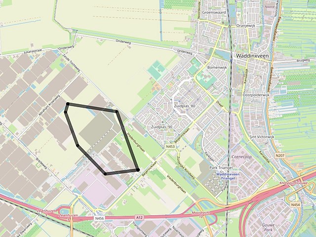
Nederlands: Ligging van het voormalige perceel Coenecoop in de Zuidplaspolder te Waddinxveen |
| Date | |
| Source | https://www.openstreetmap.org/#map=14/52.0338/4.6132 |
| Author | © OpenStreetMap-auteurs |
Licensing edit
| This work contains information from OpenStreetMap, which is made available under the Open Database License (ODbL).
The ODbL does not require any particular license for maps produced from ODbL data. Prior to 1 August 2020, map tiles produced by the OpenStreetMap Foundation were licensed under the CC-BY-SA-2.0 license. Maps produced by other people may be subject to other licences. |
File history
Click on a date/time to view the file as it appeared at that time.
| Date/Time | Thumbnail | Dimensions | User | Comment | |
|---|---|---|---|---|---|
| current | 14:28, 17 August 2020 | | 2,697 × 2,023 (822 KB) | AdriaanRo (talk | contribs) | Uploaded a work by © OpenStreetMap-auteurs from https://www.openstreetmap.org/#map=14/52.0338/4.6132 with UploadWizard |
You cannot overwrite this file.
File usage on Commons
There are no pages that use this file.
File usage on other wikis
The following other wikis use this file:
- Usage on nl.wikipedia.org