File:Lima Photowalk 3.jpg

Size of this preview: 799 × 600 pixels. Other resolutions: 320 × 240 pixels | 640 × 480 pixels | 1,023 × 768 pixels | 1,280 × 961 pixels | 1,984 × 1,489 pixels.
Original file (1,984 × 1,489 pixels, file size: 436 KB, MIME type: image/jpeg)
Captions
Captions
Add a one-line explanation of what this file represents
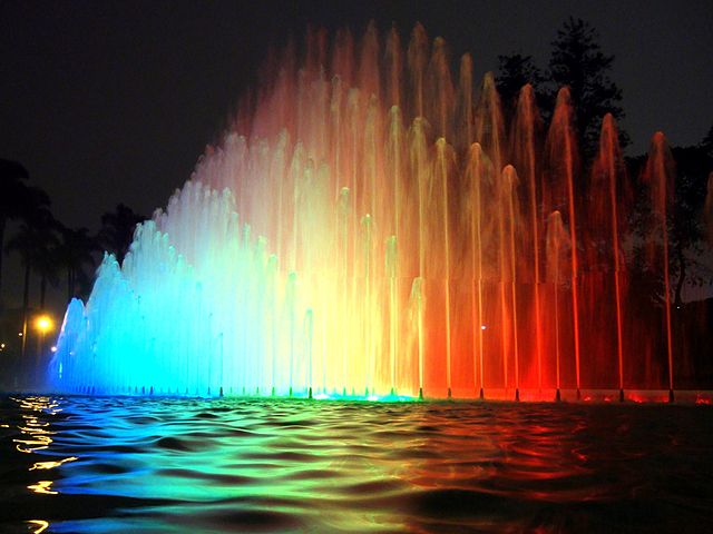
| Description | Circuito Mágico del Agua, Lima, Perú. | ||
| Date | |||
| Source | Flickr: Lima Photowalk 3 | ||
| Author | Miguel A. Vera León | ||
| Permission (Reusing this file) |
This file is licensed under the Creative Commons Attribution 2.0 Generic license.
|
| Camera location | | View this and other nearby images on: OpenStreetMap |
|---|
File history
Click on a date/time to view the file as it appeared at that time.
| Date/Time | Thumbnail | Dimensions | User | Comment | |
|---|---|---|---|---|---|
| current | 20:27, 21 September 2012 | | 1,984 × 1,489 (436 KB) | Flickr upload bot (talk | contribs) | Uploaded from http://flickr.com/photo/8150716@N04/4976148932 using Flickr upload bot |
You cannot overwrite this file.
File usage on Commons
There are no pages that use this file.
File usage on other wikis
The following other wikis use this file:
- Usage on ay.wikipedia.org