File:Lincoln AFB NE - 6 apr 1999.jpg

Size of this preview: 416 × 600 pixels. Other resolutions: 166 × 240 pixels | 444 × 640 pixels.
Original file (444 × 640 pixels, file size: 83 KB, MIME type: image/jpeg)
Captions
Captions
Add a one-line explanation of what this file represents
Summary edit
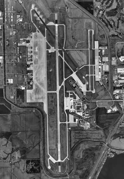
| Description |
English: USGS orthophoto of Lincoln Airport and Lincoln Air National Guard Base, formerly Lincoln AFB, in Lincoln, Nebraska, United States |
| Date | |
| Source |
USGS The National Map, via MSR Maps (formerly TerraServer-USA) |
| Author | United States Geological Survey (USGS) |
| Permission (Reusing this file) |
Public Domain |
| Other versions |
|

Licensing edit
This image is in the public domain in the United States because it only contains materials that originally came from the United States Geological Survey, an agency of the United States Department of the Interior. For more information, see the official USGS copyright policy.
|
File history
Click on a date/time to view the file as it appeared at that time.
| Date/Time | Thumbnail | Dimensions | User | Comment | |
|---|---|---|---|---|---|
| current | 21:05, 26 March 2008 | | 444 × 640 (83 KB) | Bwmoll3 (talk | contribs) | {{Information |Description=Lincoln AFB, Nebraska |Source= USGS Via Terraserver |Date=6 April 1999 |Author=USGS |Permission=USGOV-PC |other_versions= }} |
You cannot overwrite this file.
File usage on Commons
The following page uses this file: