File:Lindelse Nor.jpg

Original file (609 × 609 pixels, file size: 483 KB, MIME type: image/jpeg)
Captions
Captions
| Description |
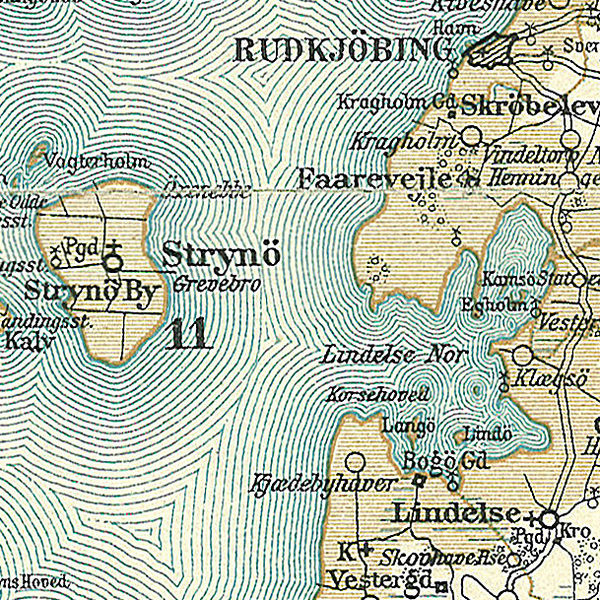
Dansk: Kort over Lindelse Nor på Langeland, og Strynø
English: Map of Lindelse Nor' on Langeland, and Strynø in Denmark |
||||
| Date | circa 1900 | ||||
| Source | Frems Amtskort over Danmark | ||||
| Author | Fotolitograferede i Generalstabens Topografiske Afdeling | ||||
| Permission (Reusing this file) |
|
||||
| Other versions | da:Lindelse Nor | ||||
| This is a retouched picture, which means that it has been digitally altered from its original version. Modifications: Lindelse Nor på Langeland. The original can be viewed here: Svendborg Amt.jpg:
|
File history
Click on a date/time to view the file as it appeared at that time.
| Date/Time | Thumbnail | Dimensions | User | Comment | |
|---|---|---|---|---|---|
| current | 09:19, 25 April 2009 | | 609 × 609 (483 KB) | Cropbot (talk | contribs) | {{Information |Description=da:Kort over den sydlige del af Svendborg Amt<br/>en:Map of the southern part of Svendborg County in Denmark |Source=''Frems Amtskort over Danmark'' |Date=ca. 1900 |Author= Fotolitograferede i Generalstabens Topografiske Afdelin |
You cannot overwrite this file.
File usage on Commons
The following page uses this file:
File usage on other wikis
The following other wikis use this file:
- Usage on da.wikipedia.org
- Usage on de.wikipedia.org
- Usage on fr.wikipedia.org
- Usage on ka.wikipedia.org
- Usage on nl.wikipedia.org
- Usage on sv.wikipedia.org
- Usage on www.wikidata.org