File:Line 3 of Canton Metro System Map.PNG

Size of this preview: 800 × 110 pixels. Other resolutions: 320 × 44 pixels | 640 × 88 pixels | 1,024 × 141 pixels | 1,280 × 176 pixels | 2,560 × 351 pixels | 15,300 × 2,100 pixels.
Original file (15,300 × 2,100 pixels, file size: 613 KB, MIME type: image/png)
Captions
Captions
Add a one-line explanation of what this file represents
Summary edit
| Description |
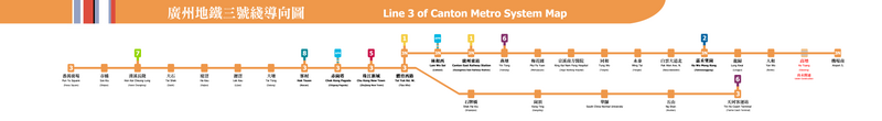
English: Line 3 of Canton Metro System Map
中文:廣州地鐵三號綫導向圖 |
| Date | |
| Source | Own work |
| Author | Towermega |
Licensing edit
I, the copyright holder of this work, hereby publish it under the following licenses:
This file is licensed under the Creative Commons Attribution-Share Alike 3.0 Unported license.
- You are free:
- to share – to copy, distribute and transmit the work
- to remix – to adapt the work
- Under the following conditions:
- attribution – You must give appropriate credit, provide a link to the license, and indicate if changes were made. You may do so in any reasonable manner, but not in any way that suggests the licensor endorses you or your use.
- share alike – If you remix, transform, or build upon the material, you must distribute your contributions under the same or compatible license as the original.

|
Permission is granted to copy, distribute and/or modify this document under the terms of the GNU Free Documentation License, Version 1.2 or any later version published by the Free Software Foundation; with no Invariant Sections, no Front-Cover Texts, and no Back-Cover Texts. A copy of the license is included in the section entitled GNU Free Documentation License. |
You may select the license of your choice.
File history
Click on a date/time to view the file as it appeared at that time.
| Date/Time | Thumbnail | Dimensions | User | Comment | |
|---|---|---|---|---|---|
| current | 11:00, 2 February 2017 | 15,300 × 2,100 (613 KB) | PQ77wd (talk | contribs) | 改返部分细节 | |
| 10:53, 2 February 2017 | 15,300 × 2,100 (611 KB) | PQ77wd (talk | contribs) | 加6號綫同7號綫開通啲料,因為唔知幾耐冇更新過啦,作者居然連廣州地鐵6、7號綫開通咗都唔知。 | ||
| 10:48, 2 February 2017 | 15,300 × 2,100 (605 KB) | PQ77wd (talk | contribs) | 加7號綫開通啲料,因為廣州地鐵7號綫喺2016年12月28號開通咗。 | ||
| 14:31, 1 December 2011 | 15,300 × 2,100 (588 KB) | Towermega (talk | contribs) | {{Information |Description ={{en|1=Line 3 of Canton Metro System Map}} {{zh|1=廣州地鐵三號綫導向圖}} |Source ={{own}} |Author =Towermega |Date =2011-12-01 |Permission = |other_versions = }} |
You cannot overwrite this file.
File usage on Commons
The following 4 pages use this file: