File:Locatie Kattegat.PNG
No higher resolution available.
Locatie_Kattegat.PNG (649 × 475 pixels, file size: 20 KB, MIME type: image/png)
Captions
Captions
Add a one-line explanation of what this file represents
| Description |
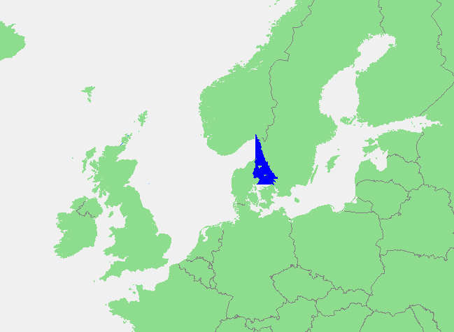
English: Location map of Kattegat — a strait-bay of the North Sea and an outlet of the Baltic Sea. |
||||
| Source | own work based on PD map | ||||
| Author | edited by M.Minderhoud | ||||
| Permission (Reusing this file) |
|
File history
Click on a date/time to view the file as it appeared at that time.
| Date/Time | Thumbnail | Dimensions | User | Comment | |
|---|---|---|---|---|---|
| current | 20:22, 10 September 2006 | | 649 × 475 (20 KB) | Michiel1972 (talk | contribs) | {{Information |Description=Kattegat |Source= own work based on PD map |Date= |Author= edited by M.Minderhoud |Permission= {{PD-Demis}} |other_versions= }} category:Locator maps of seas |
You cannot overwrite this file.
File usage on Commons
There are no pages that use this file.
File usage on other wikis
The following other wikis use this file:
- Usage on an.wikipedia.org
- Usage on avk.wikipedia.org
- Usage on ca.wikipedia.org
- Usage on cy.wikipedia.org
- Usage on es.wikipedia.org
- Usage on fr.wikipedia.org
- Usage on fy.wikipedia.org
- Usage on gl.wikipedia.org
- Usage on ia.wikipedia.org
- Usage on li.wikipedia.org
- Usage on nl.wikipedia.org
- Usage on pt.wikipedia.org
- Usage on sc.wikipedia.org
- Usage on vls.wikipedia.org