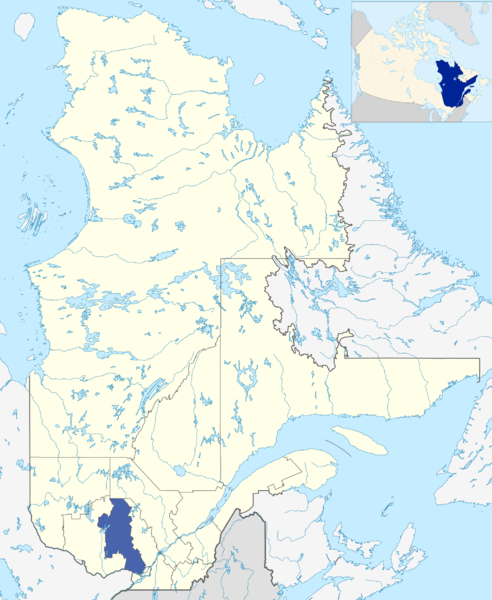
File:LocationLaurentides.png

Size of this preview: 492 × 600 pixels. Other resolutions: 197 × 240 pixels | 394 × 480 pixels | 630 × 768 pixels | 840 × 1,024 pixels | 2,000 × 2,437 pixels.
Original file (2,000 × 2,437 pixels, file size: 1.31 MB, MIME type: image/png)
Captions
Captions
Add a one-line explanation of what this file represents
- Originally created for Spanish Wikipedia by George McFinnigan.
Note: This tag is deprecated, please replace this template with {{PD-user-w}}
| |
This work has been released into the public domain by its author, George McFinnigan, at the Spanish Wikipedia project. This applies worldwide. In case this is not legally possible: |
derivative works edit
Derivative works of this file: Provinces naturelles quebec.PNG
File history
Click on a date/time to view the file as it appeared at that time.
| Date/Time | Thumbnail | Dimensions | User | Comment | |
|---|---|---|---|---|---|
| current | 21:02, 10 January 2012 | | 2,000 × 2,437 (1.31 MB) | Orbitale~commonswiki (talk | contribs) | Carte plus précise |
| 22:37, 19 March 2011 |  | 440 × 524 (31 KB) | Jeangagnon (talk | contribs) | image tournée de 18 degrés | |
| 12:11, 21 May 2006 |  | 419 × 483 (11 KB) | George McFinnigan (talk | contribs) |
You cannot overwrite this file.
File usage on Commons
The following page uses this file:
File usage on other wikis
The following other wikis use this file:
- Usage on de.wikipedia.org
- Usage on el.wikipedia.org
- Usage on es.wikipedia.org
- Usage on et.wikipedia.org
- Usage on fa.wikipedia.org
- Usage on fi.wikipedia.org
- Usage on it.wikipedia.org
- Usage on ja.wikipedia.org
- Usage on la.wikipedia.org
- Usage on oc.wikipedia.org
- Usage on pl.wikipedia.org
- Usage on pt.wikipedia.org
- Usage on ru.wikipedia.org
- Usage on sv.wikipedia.org
- Usage on uk.wikipedia.org